
Search


Refine your results
- check_box[remove]Bodleian Libraries, University of Oxford41
- Filter from 1720 to 1900
Current results range from 1720 to 1900
Location
- check_box_outline_blankIndonesia26
- check_box_outline_blankMyanmar13
- check_box_outline_blankMalaysia9
- check_box_outline_blankThailand9
- check_box_outline_blankCambodia5
- check_box_outline_blankLaos5
- check_box_outline_blankSingapore5
- check_box_outline_blankVietnam5
- check_box_outline_blankBrunei2
- check_box_outline_blankEast Timor2
- check_box_outline_blankPhilippines1
- check_box_outline_blankSoutheast Asia1
- check_box_outline_blankDutch East Indies24
- check_box_outline_blankJava13
- check_box_outline_blankSumatra10
- check_box_outline_blankMalay Peninsula8
- check_box_outline_blankSiam8
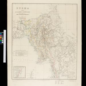
- check_box_outline_blankBurma6
- check_box_outline_blankCelebes5
- check_box_outline_blankSulawesi5
- check_box_outline_blankAssam4
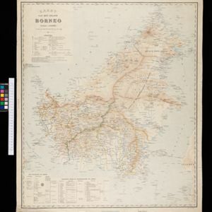
- check_box_outline_blankBorneo4
- check_box_outline_blankTenasserim4
- check_box_outline_blankUpper Burma4
- more Detailed Location »
Land Use
- check_box_outline_blankKampong/Village24
- check_box_outline_blankMilitary Fort12
- check_box_outline_blankCemetery/Columbarium9
- check_box_outline_blankTemple8
- check_box_outline_blankHospital7
- check_box_outline_blankPost Office7
- check_box_outline_blankResidential Area7
- check_box_outline_blankChurch6
- check_box_outline_blankMilitary Barracks6
- check_box_outline_blankPolice Station5
- check_box_outline_blankJail/Prison3
- check_box_outline_blankMissionary Building3
- check_box_outline_blankPalace3
- check_box_outline_blankPublic Space3
- more Settlement Features »
Land and Sea Routes
Cultural and Political Regions
Environmental Features
Insets and Attributes
Map Production Details
- check_box_outline_blankCronenberg, F.9
- check_box_outline_blankWolff9
- check_box_outline_blankMelvill van Carnbee, Pieter7
- check_box_outline_blankVersteeg, W.F.4
- check_box_outline_blankStrahan, Colonel George3
- check_box_outline_blankHerwerden, J.D. van2
- check_box_outline_blankLefroy, G.A.2
- check_box_outline_blankArrowsmith, John1
- more Map Maker »
- check_box_outline_blankVan Haren Noman & Kolff9
- check_box_outline_blankA.J. Bogaerts8
- check_box_outline_blankSurvey of India Offices, Calcutta5
- check_box_outline_blankTopographische Bureau5
- check_box_outline_blankD. Heyse4
- check_box_outline_blankStanford's Geographical Establishment3
- check_box_outline_blankTopographische Inrichting3
- check_box_outline_blankEdward Stanford2
- more Printer/Publisher »


