Search

Search Results

A map of British North Borneo

event1894

location_onMalaysia, Brunei, Indonesia

The colonial territories of British North Borneo are shown in pink on this late 19th century map, with Brunei and Sarawak in green, and Dutch colonial territory in yellow. Sea routes around the British Empire are depicted on an inset map.

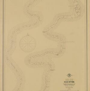
Oostkust Sumatra. Schetskaart der Siak Rivier van het Eiland Tengah tot Siak

event1894

location_onIndonesia

This late 19th century large-scale (1:30,000) map show just a section of the Siak River, in the Riau province of Sumatra. Bathymetry (water depth) is shown in figures to aid navigation, with various landmarks noted along the river’s banks.

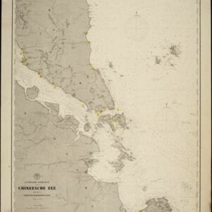
Zuidelijk gedeelte van de Chineesche zee: Blad I

event1893

location_onMalaysia, Indonesia, Singapore

Navigation map of the southern part of the South China Sea, including the straits of Malacca and Singapore, and the Riau Archipelago. Bathymetry (sea depth), lighthouses, shoals and other obstructions are marked, with hills to use as landmarks.

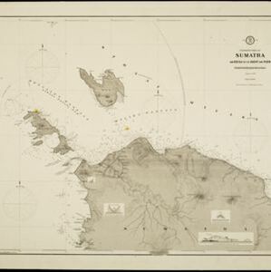
Noordwestkust Sumatra: Van Roesa to de Bocht van Pedir

event1893

location_onIndonesia

A navigation map of the northern tip of Sumatra, featuring bathymetry (sea depth), reefs, shoals, and side views of landmark mountains (elevations). Lighthouses are highlighted in red and yellow, with lines to indicate the limits of their range.

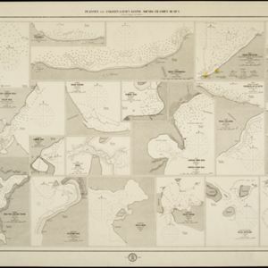
Plannen van ankerplaatsen Kleine Soenda eilanden

event1893

location_onIndonesia

Fifty-seven separate maps of bays, roadsteads—a body of water sheltered from tides/currents—and anchor points around the Lesser Sunda Islands. Landmarks, lighthouses, bathymetry (sea depth), shoals, reefs and other obstructions are marked.

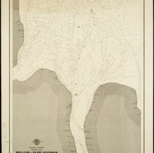
Sumatra Oostkust: Monden der Koealoe en Panei rivieren

event1892

location_onIndonesia

Navigation map of the mouths of the Koealoe (Kualu) and Panei (Barumun and Bila) rivers on the east coast of Sumatra. Large sand and mud banks, bathymetry (sea depth), bouys and currents are marked. On land, tall trees are shown to use as landmarks.

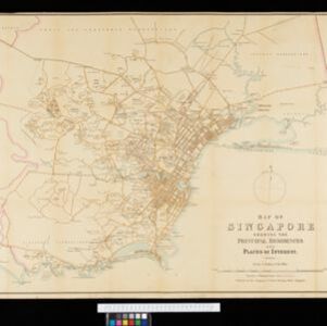
Map of Singapore showing the principal residences and places of interest

event1892

location_onSingapore

Map of the city of Singapore, including the central civic/business area around the Singapore River, Fort Canning, Tanjong Pagar dock, and residential areas. The city is surrounded by villages and plantations (pineapple, fruit and vegetable, coconut).

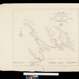
Sketch map shewing the rivers and an outline of the coast... Gulf of Papua, British New Guinea

event1892

location_onPapua New Guinea

Map of part of the west coast of the Gulf of Papua, with islands, river mouths, shoals, bathymetry (water depth), notes to aid navigation. On land, notes on terrain (‘Limestone Hill’), vegetation (‘Pandanus & Nipa Palms’) and people (‘Paia Tribe’).

New Sketch Map of the Protected Malay State of Perak

event1892

location_onMalaysia

Map of the state of Perak (Malay Peninsula) with a table of statistics: area, population, road/railway/river lengths, revenue, tin exports. Gold and tin mines are marked, and the Straits Settlements are highlighted in red.

New sketch map of the protected Malay State of Perak

event1892

location_onMalaysia

Map of state of Perak (Malay Peninsula) with a table of statistics: area, population, road/railway/river lengths, revenue, tin exports. Straits Settlements highlighted red. Someone has added handwritten travel times/distances by steamer/road/train.

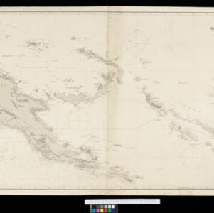
Kaiser Wilhelms Land, Bismarck Archipel und Salomon Inseln

event1891

location_onPapua New Guinea

Navigation map of Kaiser-Wilhelmsland, in German New Guinea. It features bathymetry (sea depth), reefs and shoals, lighthouses (coloured red and yellow) and landmark mountains. A boundary divides German and British colonial territories on New Guinea.

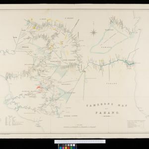
Cameron's map of Pahang

event1889

location_onMalaysia

A map of the Malayan states of Pahang and Selangor, showing the rivers, mines (gold, tin, sulphur, shale) and mining companies in the region. There is also a list translating Malay terms used on the map into English.

close