Search

Search Results

A new chart of the straits of Sunda: From the manuscript of the Dutch East India Company

event1794

location_onIndonesia

Navigation chart of the Sunda Strait, showing bathymetry (sea depth), shoals and reefs, landmarks, and a rhumbline network. Notes record good anchorages, sources of water and supplies etc. Inset map of the Zutphen Islands off the coast of Sumatra.

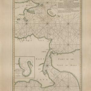
A new plan of the Straits, situated to the east of Java & Madura commonly called the Straits of Bali and of Pondi and Respondi

event1794

location_onIndonesia

A late 18th century navigation map of the waters between the islands of Java, Madura and Bali. The web of lines is a rhumbline network, the numbers indicate sea depth (bathymetry), and there is an inset map of the Bay of Ballambouang, Java.

Plan de Salangor et de La Cote de Malaye: depuis la Pointe de Caran jusqu'au Mont Parcelar

event1775

location_onMalaysia

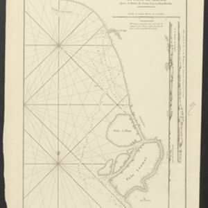
Map of the coast of Selangor on the west of the Malay Peninsula. The web of lines is a rhumbline network, the numbers indicate sea depth (bathymetry), and there are drawings of the side views of mountains (elevations), all to aid navigation.

Carte Plate de la Partie Septentrionale du Détroit de Malac: depuis la Rade D'Áchem jusqu'a Malac

event1775

location_onIndonesia, Malaysia

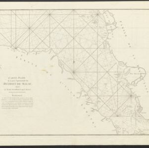
Map of the northern Malacca Strait—between Sumatra and Malaya—with shoals and reefs marked, some labelled as ‘dangerous’. The web of lines is a rhumbline network, while the numbers indicate sea depth (bathymetry), both used to aid navigation.

Carte de la Côte de Pégou, et de celle de Martaban

event1775

location_onMyanmar

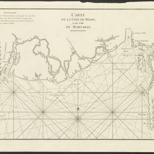
Navigation map of the coast of the ancient kingdom of Pégou and near the town of Martaban (Mottama), Myanmar. Bathymetry (sea depth), anchor points, notes on currents and obstructions are marked, and there are drawings of side views of coastal hills.

Carte hydro-geo-graphique des Indes orientales, en deca̧ et au dela du Gange avec leur archipel

event1771

location_onBrunei, Cambodia, East Timor, Indonesia, Laos, Malaysia, Myanmar, Philippines, Singapore, Southeast Asia, Thailand, Vietnam

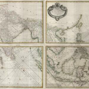
The arrows on this map show the direction of the seasonal monsoons of Southeast Asia during the late 18th century. Each arrow has a label in French, indicating the month. The hatched sea areas are where the winds always blow in the same direction.

Insulae Iavae pars Occidentalis

event1728

location_onIndonesia

A map of Java with mountains, jungles, animals and crops. Bathymetry (sea depth) is marked, including on an inset map of Batavia harbour. Illustrations include Batavia Castle, and a lion—representing Belgium—receiving tribute and enslaving locals.

Insulae Iavae pars Occidentalis

eventc.1720

location_onIndonesia

A map of west Java with mountains, jungles, animals and crops. Details include sea depth, an inset map of Batavia harbour, and an illustration of a lion—representing Belgium—receiving tribute and enslaving locals. A similar map of east Java was made.

close