Search

Search Results

A New Chart of the Eastern Straits, or the Straits to the East of Java, with a part of the Banda Sea

event1798

location_onEast Timor, Indonesia

A late 18th century maritime navigation map of the straits east of Java, with drawings of the elevations of the straits. The map is also marked with routes of explorers, including the return of Captain Cook’s HMS Endeavour from Australia in 1770.

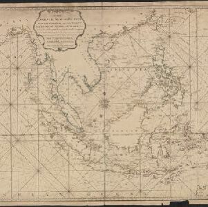
A new chart of the Oriental Seas and Islands... from the Isle of Ceylon to Amoye in China

event1790

location_onBrunei, Cambodia, East Timor, Indonesia, Laos, Malaysia, Myanmar, Philippines, Singapore, Southeast Asia, Thailand, Vietnam

A late 18th century maritime map of Southeast Asia, marked with expedition routes including the return of Captain Cook’s HMS Endeavour from Australia in 1770, and Captain Philip Carteret’s circumnavigation expedition in 1768.

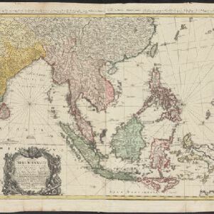
Carte des Indes Orientalis

event1748

location_onBrunei, Cambodia, East Timor, Indonesia, Laos, Malaysia, Myanmar, Philippines, Singapore, Southeast Asia, Vietnam, Thailand

This mid-18th century map features labels noting the local populations, including the Kemois of the mountains and deserts of Cochinchinae (Vietnam) and the Byayos of Borneo. The map’s cartouche is embellished with maritime and military paraphernalia.

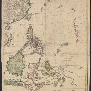
Carte des Indes Orientales: 2de. feuille

event1748

location_onBrunei, East Timor, Indonesia, Malaysia, Philippines, Vietnam

This map features a label noting that the Byayos people inhabited the mountains of central Borneo. Another note at the northeast tip of Borneo states that the location and number of islands in the area is uncertain. Sheet two of two.

Nieuwe afteekeningh van de Noord Küst van Java vertoonende de reede van Batavia en Bantem

event1740

location_onIndonesia

A map of the northern coast of Java and the important port cities of Batavia (Jakarta) and Bantem (Banten). The web of lines is a rhumbline network, and shoals, reefs and bathymetry (sea depth) are marked, all to aid navigation.

Part of Malaya. Part of Tanasary

event1738

location_onMalaysia, Thailand

This map was intended for navigation purposes, with bathymetry (sea depth), reefs, shoals and anchor points marked. One island is labelled ‘like a sugar loaf’, another ‘like a turtel [turtle]’. Oedong Sallang is the island of Phuket, Thailand.

Insulae Iavae pars Occidentalis

eventc.1710-1719

location_onIndonesia

A map of Java with mountains, jungles, animals and crops. Bathymetry (sea depth) is marked, including on an inset map of Batavia harbour. Illustrations include Batavia Castle, and a lion—representing Belgium—receiving tribute and enslaving locals.

Paskaerte zynde t'Oosterdeel van Oost Indien, met alle de Eylanden daer ontrendt geleegen van C. Comorin tot aen Iapan

event1666

location_onBrunei, Cambodia, East Timor, Indonesia, Laos, Malaysia, Myanmar, Philippines, Singapore, Southeast Asia, Thailand, Vietnam

This map of Southeast Asia features a rhumbline network, a web of lines used to aid navigation. Coastal areas are detailed while interiors are mainly blank, and there are illustrations of sailing ships, reinforcing the maritime focus of this map.

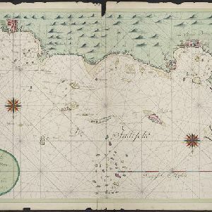
[Philippine Islands]

event1665

location_onPhilippines

A map of the northern Philippine islands with a rhumbline network, a web of lines to aid navigation. Bathymetry (sea depth), shoals and reefs are marked, reinforcing the maritime theme. The compass rose points left, indicating north’s direction.

[Manuscript map of the Philippines]

event1650

location_onPhilippines

A mid-17th century hand-drawn map concentrating on the Philippine islands between Luzon and Mindanao. Many are named, and shoals and reefs marked around their coasts. The azimuthal projection of the map focuses at the center of the archipelago.

Description de la coste septentrionale de Noua Guinea

event1618

location_onIndonesia

The north coast of New Guinea is mapped here as it was discovered by the Dutch explorer Willem Corneliszoon Schouten. He is named on the map as Guillaume Schouten de Hoorn, known as the first to sail from Europe to the Pacific Ocean via Cape Horn.

Description de la grande mer du Sud monstrant par quel chemin Guillaume Schouten a navige

event1618

location_onIndonesia, Papua New Guinea

This map shows the route of the Dutch explorer Willem Corneliszoon Schouten, crossing the Pacific Ocean from South America to New Guinea. He was the first explorer to sail from Europe to the Pacific Ocean via Cape Horn.

close

  • Filter from 1595 to 1798

Current results range from 1595 to 1798