Kaart van het vaarwater naar en op de reede van Batavia
event1824
location_onIndonesia
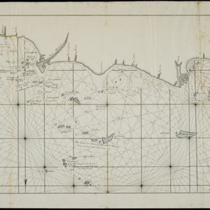
The North Coast of Java, from Madura to Samarang
event1818
location_onIndonesia
The North Coast of Java, from Madura to Samarang
event1818
location_onIndonesia
A new chart shewing the navigation through the Strait of Sunda to Batavia
event1815
location_onIndonesia
A new chart shewing the navigation through the Strait of Sunda to Batavia
event1815
location_onIndonesia
[Sumatra and the Strait of Malacca]
eventc.1800
location_onMalaysia, Singapore, Indonesia
A new chart of the eastern straits to China drawn from the best authorities
event1800
location_onIndonesia
[Sumatra and the Strait of Malacca]
eventc.1800
location_onMalaysia, Singapore, Indonesia
A New Chart of the Eastern Straits, or the Straits to the East of Java, with a part of the Banda Sea
event1798
location_onEast Timor, Indonesia
The coast of India from Pulo Timon to Pulo Cambir comprehending the Malayan coast, the Gulf of Siam, the coasts of Tsiampa and Cochinchina, with the adjacent islands and part of the isle of Borneo
event1794
location_onThailand, Malaysia, Cambodia, Indonesia, Brunei, Vietnam
Sketch of the Straits of Gaspar
event1794
location_on-
The coast of India and China from the point and river of Camboja to Canton: comprehending the coasts of Tsiompa and Cochinchina, with the coast of Tonkin and the coast of Koan-Ton, with the isle of Hai-nan