Search

Search Results

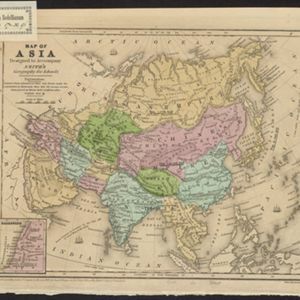
Map of Asia: Designed to accompanying Smith's Geography for Schools

event1839

location_onBrunei, Cambodia, Indonesia, Laos, Malaysia, Myanmar, Philippines, Singapore, Thailand, Vietnam, Southeast Asia

Map of Asia, marked with populations of cities and lengths of rivers. Mainland Southeast Asia is divided into kingdoms, but maritime Southeast Asia is mostly blank, and parts such as Java and the Lesser Sunda Islands are left off entirely.
Map of the countries between Bengal and China

event1834

location_onIndonesia, Malaysia, Thailand, Vietnam, Cambodia, Laos, Myanmar, Singapore

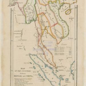
The location, size, and population (by ethnicity) of Pinang, Malacca and Singapore—the Straits Settlements—are listed, along with how/when they were acquired by Britain. The distances from Canton (China) to those cities, and to India, are also noted.

Das Kaiserthum Birma nebst Assam

event1825

location_onMyanmar, Malaysia, Thailand

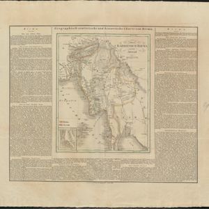
Map of the Birman Empire and Assam (modern Myanmar) with detailed text describing the region’s geography, culture, population, religion, government and history. There is an inset map highlighting Burmese islands off the coast of the Malay Peninsula.

India quae Orientalis dicitur, et insvlae adiacentes

eventc.1645-1658

location_onBrunei, Cambodia, East Timor, Indonesia, Laos, Malaysia, Myanmar, Philippines, Singapore, Southeast Asia, Thailand, Vietnam

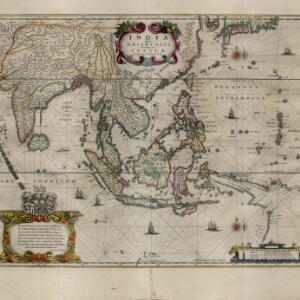
German text on the reverse of this map describes the populations, crops, trade etc. of Sumatra, Borneo, Philippines, and Banda Islands. There are drawings of sailing ships, and the map is dedicated to the Dutch merchant Christophoro Thisio.

close

  • Filter from 1645 to 1839

Current results range from 1645 to 1839