Search

Search Results

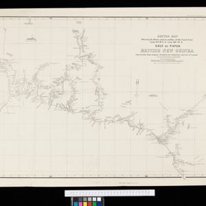
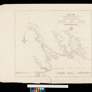
Sketch map shewing the rivers and an outline of the coast... Gulf of Papua, British New Guinea

event1893

location_onPapua New Guinea

Map of part of the east coast of the Gulf of Papua, with river mouths, shoals, bathymetry (water depth). On land, notes on terrain (‘Hills 100 to 150 ft. high’), land (‘Good soil’), vegetation (‘Nipa and Sago Palms’) and people (‘Ipikoi Tribe’).

Sketch map shewing the rivers and an outline of the coast... Gulf of Papua, British New Guinea

event1892

location_onPapua New Guinea

Map of part of the west coast of the Gulf of Papua, with islands, river mouths, shoals, bathymetry (water depth), notes to aid navigation. On land, notes on terrain (‘Limestone Hill’), vegetation (‘Pandanus & Nipa Palms’) and people (‘Paia Tribe’).

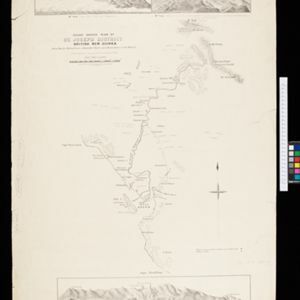
Rough sketch plan of St. Joseph District, British New Guinea

event1890

location_onPapua New Guinea

Map of part of British New Guinea with notes on terrain (‘Swamp’), vegetation (‘Grass & wood patches with old gardens’) and people (‘Oru tribe’), and three elevation views of mountain ranges. Some villages are marked as having ‘resident teachers’.

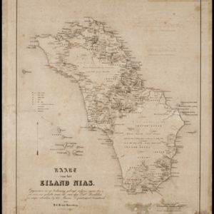
Kaart van het Eiland Nias

event1857

location_onIndonesia

Map of the island of Nias off the west coast of Sumatra. Nias and Muslim villages are marked separately; large interior areas are left blank (‘Niet onderzocht [Not researched]’). Anchor points and side views of hills (elevations) are for navigation.

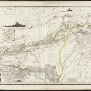
Karte von Assam: und seinen Nachbar-Ländern

event1834

location_on-

Map of Assam, including India’s border with northwest Birma (Myanmar) where indigenous lands/peoples are marked (Singphos, Naga, Kasi-Schan, Thai-Lung) e.g. ‘These mountainous landscapes are inhabited by the Naga tribes [translation from map text]’.

Carte de l'ile de Java: partie occidentale, partie orientale, dressée tout nouvellement sur les mémoires les plus exacts

event1720

location_onIndonesia

The mountains and forests of early 18th century Java are beautifully illustrated here by the Dutch cartographer Henry Abraham Chatelain (1648-1743). Details include cities, fields of crops, animals and people. An inset map shows the port of Batavia.

close