Search

Search Results

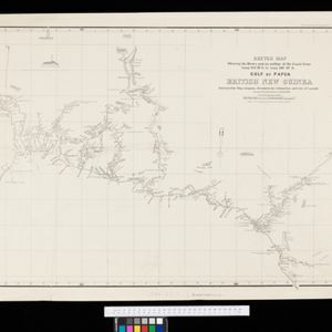
Sketch map shewing the rivers and an outline of the coast... Gulf of Papua, British New Guinea

event1893

location_onPapua New Guinea

Map of part of the east coast of the Gulf of Papua, with river mouths, shoals, bathymetry (water depth). On land, notes on terrain (‘Hills 100 to 150 ft. high’), land (‘Good soil’), vegetation (‘Nipa and Sago Palms’) and people (‘Ipikoi Tribe’).

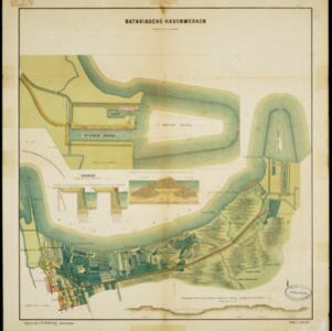
Bataviasche havenwerken

event1880

location_onIndonesia

A map of the rail, canal and road connections of Batavia (Jakarta, Java) and its port of Tanjung Priok. There is an inset map of the port—harbours, dock, coal sheds, well and water tower—and cross-sections of the inner harbour walls and harbour dam.

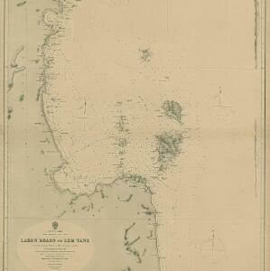
Gulf of Siam: Malay Peninsula - East Coast. Lakon Roads to Lem Tane

event1880

location_onThailand

Produced by the British Admiralty’s Hydrographic Office, this map includes various navigational aids, such as maritime routes, bathymetry (sea depth), tide and current data, and elevations (side views of hills and mountains to use as landmarks).

Map of the River of Don-nai from Cape St. James to the city of Saigon

event1820

location_onVietnam

A map to aid in the navigation of the rivers leading to Saigon (Ho Chi Minh City, Vietnam). Details include bathymetry (water depth), currents, and a side view (or ‘elevation’) of hills to use as a landmark. Tides are described in written remarks.

close