Search

Search Results

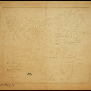
Caart eeniger ryken gelegen op het eyland Groot Java bestaande in het Koningryk Jaccatra de regentschappen Tjanjoer, Bandong, Timbanganten en Batoelejan als mede een gedeelte van Parrakkanmoentjang en Crawang

event1898

location_onIndonesia

A hand-drawn late 19th century map of western Java, divided into regencies. The map is orientated with south at the top so that Batavia, on the northern coast of Java, is at the bottom of the map.

Kaart van Nederlandsch-Indie

event1893

location_onBrunei, Cambodia, Indonesia, Malaysia, Singapore, Thailand, Vietnam, East Timor, Philippines, Southeast Asia

Shipping routes are the focus of this map of the Dutch East Indies, indicated by red lines labelled with the name of the shipping company and the destinations. Parcel shipping routes are also shown. Inset maps feature railway lines too.

Principal Dutch colonies in the Indian seas

event1872

location_onBrunei, Indonesia, Malaysia

Two maps of the Dutch East Indies, decorated with drawings of local people and animals. Dutch colonial territory and local sultanates and provinces are highlighted. The heights of Java’s mountains and settlements are displayed in an elevation view.

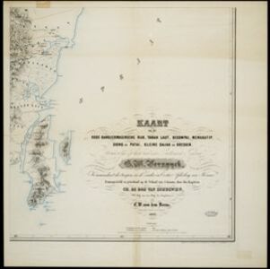
Kaart van het oude Bandjermasinsche rijk, Tanah Laut, Bekompai, Mengkatip, Siong en Patai, Kleine Dajak en Doesoen

event1862

location_onIndonesia

A map of the south-eastern tip of Borneo (modern South Kalimantan) spread over four sheets, featuring mountains, wetlands and rivers. Created by the Dutch colonial authorities, small flags mark fortifications of Dutch and auxiliary troops.

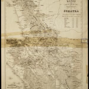
Kaart van een gedeelte der Westkust van Sumatra

event1855

location_onIndonesia

Hachures—short lines/dashes that give a sense of the shape and steepness of terrain—are used to show the mountains of Sumatra’s west coast, and of the Padang Highlands and Lowlands. Text lists the heights of some of the region’s chief mountains.

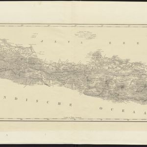
Kaart van het eiland Java uit de nieuwste bronnen zamengesteld

event1855

location_onIndonesia

Map of Java divided into administrative areas (‘residencies’ and ‘regencies’). Mountains are represented by hachures, short lines/dashes that give a sense of the shape and steepness of terrain. Postal routes and roads are also marked.

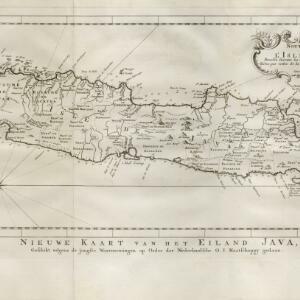
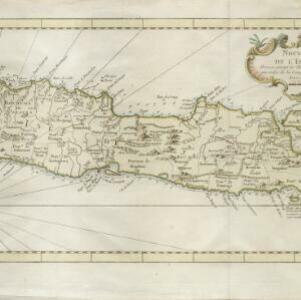
Nouvelle Carte de l'isle de Java

eventc.1772-1780

location_onIndonesia

On this map of Java, mountains are shown pictorially and labelled with their name. The coasts are marked with shoals, reefs, bathymetry (sea depth, in figures) and anchor points. The land is divided into administrative districts.

Nouvelle Carte de l'isle de Java

eventc.1746-1770

location_onIndonesia

On this map of Java, mountains are shown pictorially and labelled with their name. The coasts are marked with shoals, reefs, bathymetry (sea depth, in figures) and anchor points. The land is divided into administrative districts.

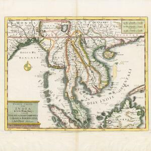
Nuova carta dell' India di là del Fiume Ganges overo di Malacca, Siam, Cambodia, Chiampa, Kochinchina, Laos, Pegu, Ava &c.

event1740

location_onBrunei, Cambodia, Indonesia, Laos, Malaysia, Myanmar, Singapore, Thailand, Vietnam, Southeast Asia

Based on a map by Guillaume Delisle, this map of Southeast Asia shows mountains and settlements pictorially, with larger cities also coloured red. Regional borders are colour-coded, as are some internal borders on the Malay Peninsula.

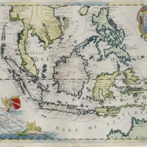
Isole dell'Indie divise in Filippine, Molucche e della Sonda

eventc.1691-1696

location_onBrunei, Cambodia, East Timor, Indonesia, Laos, Malaysia, Myanmar, Philippines, Singapore, Southeast Asia, Thailand, Vietnam

Dotted lines and colours divide maritime Southeast Asia into three regions on this map: the Philippine archipelago, Maluku Islands and Sunda Islands. The cartouche features cherub mermaids carrying a banner and shield.

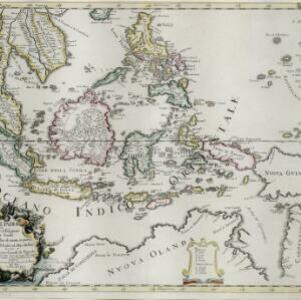
Isole dell'India, cioè le Molucche, le Filippine e della Sonda: parte de Paesi di nuoua scoperta e l'Isole de Ladri nel Mare del Zud

event1683

location_onBrunei, Cambodia, East Timor, Indonesia, Laos, Malaysia, Myanmar, Papua New Guinea, Philippines, Singapore, Southeast Asia, Thailand, Vietnam

Dotted lines on this late 17th century map demarcate regions and kingdoms (which also have a crown symbol). The cartouche is shaped like a giant shell supported by mermen, with cherubs holding up shells and pearls on top.

close