Search
Refine your results
- Filter from 1788 to 1896
Current results range from 1788 to 1896
Location
- check_box[remove]Papua New Guinea9
- check_box_outline_blankIndonesia4
- check_box_outline_blankEast Timor3
- check_box_outline_blankMalaysia3
- check_box_outline_blankSingapore3
- check_box_outline_blankBrunei2
- check_box_outline_blankCambodia2
- check_box_outline_blankLaos2
- check_box_outline_blankMyanmar2
- check_box_outline_blankPhilippines2
- check_box_outline_blankSoutheast Asia2
- check_box_outline_blankThailand2
- more Simple Location »
- check_box_outline_blankNew Guinea8
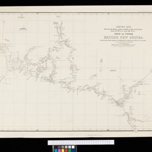
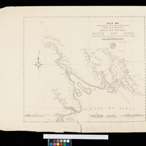
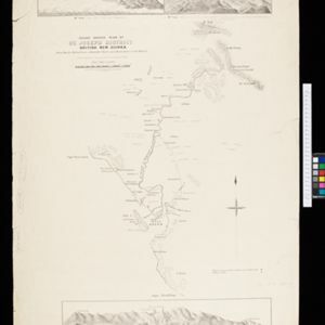
- check_box_outline_blankBritish New Guinea5
- check_box_outline_blankJava3
- check_box_outline_blankSumatra3
- check_box_outline_blankWestern New Guinea3
- check_box_outline_blankBorneo2
- check_box_outline_blankGulf of Papua2
- check_box_outline_blankMalay Peninsula2
- check_box_outline_blankAngabunga River1
- check_box_outline_blankAracan1
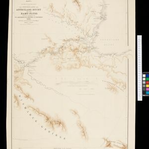
- check_box_outline_blankAstrolabe Bay1
- check_box_outline_blankAstrolabe-Bucht1
- more Detailed Location »
Land Use
Land and Sea Routes
Cultural and Political Regions
Environmental Features
Insets and Attributes
Map Production Details
- check_box_outline_blankAndrews, John1
- check_box_outline_blankBerghaus, Heinrich Karl Wilhelm1
- check_box_outline_blankCameron, J.B.1
- check_box_outline_blankCronenberg, F.1
- check_box_outline_blankCuthbertson, W.R.1
- check_box_outline_blankForbes, H.O.1
- check_box_outline_blankJohnston, Keith (A.K.)1
- check_box_outline_blankJohnston, William1
- more Map Maker »
- check_box_outline_blankSurveyor General's Office, Brisbane3
- check_box_outline_blankIntelligence Division, War Office2
- check_box_outline_blankA. Dalrymple1
- check_box_outline_blankC.L. Keller1
- check_box_outline_blankD. Heyse1
- check_box_outline_blankGovernment Engraving & Lithographic Office, Brisbane1
- check_box_outline_blankJohn Stockdale1
- check_box_outline_blankRichard Holmes Laurie1
- more Printer/Publisher »

