Search

Search Results

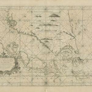
Carte de la Côte de Pégou, et de celle de Martaban

event1775

location_onMyanmar

Navigation map of the coast of the ancient kingdom of Pégou and near the town of Martaban (Mottama), Myanmar. Bathymetry (sea depth), anchor points, notes on currents and obstructions are marked, and there are drawings of side views of coastal hills.

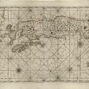
A chart of the seas between the Straits of Banca and Po. Timon: with the eastern part of the Straits of Malacca

event1767

location_onIndonesia, Malaysia

This mid-18th century maritime map charts the seas between Peninsula Malaysia and Sumatra, including Singapore—named ‘Po. Panjang’—with the old and new Straits of Singapore marked. The numbers indicate sea depth (bathymetry).

Carte réduite des détroits de Malaca, Sincapour, et du Gouverneur

event1755

location_onMalaysia, Singapore, Indonesia

Maps like this aided navigation through the islands, shoals and reefs of Singapore and the Malacca Strait. Three routes around Singapore are shown, numbers on the sea indicate water depth, and the profile views of mountains were used as landmarks.

Royaume de Siam, avec les Royaumes qui luy sont Tributaires, et les Isles de Sumatra, Andemaon etc.

event1742

location_onBrunei, Cambodia, Indonesia, Laos, Malaysia, Myanmar, Singapore, Thailand, Vietnam

Map marking the routes through maritime Southeast Asia of two delegations: a French delegation from Brest, France to Siam in 1685; and a Siamese delegation from Siam to Brest in 1686. A note next to Aceh records a sea battle against Portugal in 1616.

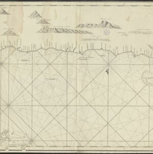
Chart of the North Coast of Java from Samarang to Batavia

event1740

location_onIndonesia

This map uses a variety of methods to aid navigation, including a rhumbline network (a web of lines to help plot routes). The numbers on the sea surface indicate depth (bathymetry), and the drawings of mountains (elevations) were used as landmarks.

Insulae Iavae pars Occidentalis

event1728

location_onIndonesia

A map of Java with mountains, jungles, animals and crops. Bathymetry (sea depth) is marked, including on an inset map of Batavia harbour. Illustrations include Batavia Castle, and a lion—representing Belgium—receiving tribute and enslaving locals.

De landvoogdy van Amboina met de elf onderhoorige eylanden

event1726

location_onIndonesia

Although mainly a navigation map—with a rhumbline network and elevations of mountains—there are also many terrestrial details shown, such as settlements and mountains. The inset map of Hoeamohel details plantations and the cultivation of nut crops.

Insulae Iavae pars Occidentalis

eventc.1720

location_onIndonesia

A map of west Java with mountains, jungles, animals and crops. Details include sea depth, an inset map of Batavia harbour, and an illustration of a lion—representing Belgium—receiving tribute and enslaving locals. A similar map of east Java was made.

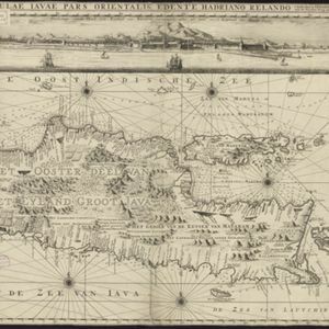
Insulae Iavae Pars Orientalis

eventc.1720

location_onIndonesia

A map of eastern Java with mountains, jungles, animals and crops. Bathymetry (sea depth) is marked, and there is a painting of Batavia harbour and castle. A similar map depicting western Java was also produced, as were maps featuring both parts.

Insulae Iavae Pars Occidentalis / Insulae Iavae Pars Orientalis

eventc.1720

location_onIndonesia

A map of Java with mountains, jungles, animals and crops. Bathymetry (sea depth) is marked, including on an inset map of Batavia harbour. Illustrations include Batavia Castle, and a lion—representing Belgium—receiving tribute and enslaving locals.

close