Search

Search Results

Map of the Kingdom of Siam and its dependencies

eventc.1900

location_onMyanmar, Malaysia, Singapore, Thailand, Laos, Cambodia, Vietnam

The border of the Kingdom of Siam (Thailand) and its internal administrative districts are highlighted in yellow. Inset maps show the cities of Bangkok, Chiengmai (Chiang Mai) and Luang Pra Bang (Luang Prabang) in more detail.

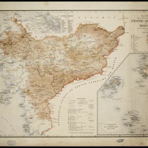
Kaart de residentie Wester-afdeeling van Borneo

event1898

location_onIndonesia

Topographical map of western Borneo, with inset maps of the islands off the west coast, and of the city of Pontianak including the docks and crops grown near the city (rice, coconut, mangosteen, sago, alang-alang, indigo plant, sugarcane, bamboo).

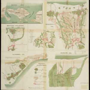
Expeditiën naar Bali in 1846, -48, -49 en -68

event1897

location_onIndonesia

Map of Bali, with five inset maps showing locations of Dutch military interventions on the island from 1846 to 1868. Troop positions and Balinese defences—barricades, moats—are marked, along with terrain, roads, palaces, temples and villages.

Atlas van Nederlandsch Oost-Indië

eventc.1897-1904

location_onIndonesia

Very detailed atlas of the entire Dutch East Indies, over 16 map sheets, with a cover and overview map. Includes topographic maps, inset maps of cities and islands, and maps featuring land and sea routes, languages, geology, colonial territory etc.

Plan of Singapore town

event1893

location_onSingapore

Large-scale plan of Singapore city, spread over eight sheets. Includes the central civic/business area around the Singapore River, Tanjong Pagar dock, and residential areas. The city is surrounded by suburbs, cemeteries, mangroves, vegetable gardens.

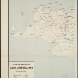
Oudheidkundige Kaart van West en Midden Java

event1891

location_onIndonesia

This map of western and central Java uses red symbols to mark the locations of antiquarian sites, including tjandis (Hindu tombs), walls, terraces, fortifications, temples, wells, statues and cemeteries. Rivers, roads and railways are also shown.

British Burma, Pegu division: With additions to railways up to 1891

event1891

location_onMyanmar

Topographical map of the Pegu Division of British Burma (Myanmar), spread over four sheets. In addition to mountains, forests, rivers and wetlands, rice fields, routes (road, railway, path, telegraph), villages and pagodas are marked.

Oudheidkundige Kaart van West en Midden Java

event1890

location_onIndonesia

This map of western and central Java uses red symbols to mark the locations of antiquarian sites, including tjandis (Hindu tombs), walls, terraces, fortifications, temples, wells, statues and cemeteries. Rivers, roads and railways are also shown.

Sumatra

event1889

location_onIndonesia

Map of the city of Padang on the west coast of Sumatra, with inset maps of the nearby islands, featuring residential, business, government and military areas. There are also agricultural areas with coconut, nutmeg, bamboo, nipa palm and sago palm.

Topographische kaart der residentie Besoeki

event1888

location_onIndonesia

The residency of Besoeki (Besuki), East Java, featuring crops (rice, alang-alang, bamboo, coconut); fishing ponds; factories, warehouses, businesses; routes, administrative borders; churches, cemeteries, forts, lighthouses; mountains, rivers, lakes.

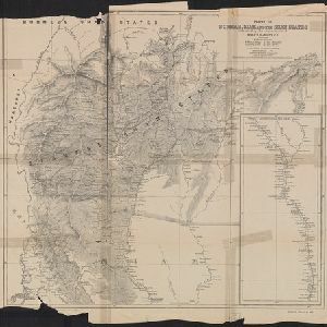
Parts of Burma, Siam and the Shan States

event1886

location_onMyanmar, Thailand

This map charts the journey of Holt S. Hallett as he searched for a suitable route for a railway to transport British goods from Burma to Thailand and China. He wrote the book ‘A Thousand Miles on an Elephant in the Shan States’ about his expedition.

Itinéraire de Hanoi à That-khe par Lang-son (Frontière Chinoise du Kouang-Si)

event1881

location_onVietnam

A late 19th century map depicting a route from Hanoi to That-Khe via Lang-Son (in northern Vietnam, near the border with China at Kouang-Si (Guangxi)). Two inset maps feature plans of military forts, villages, rivers and fields along the route.

close