Search Results
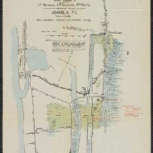
Sketch showing positions of 1st Brigade, 2nd Division, 8th Corps, in operations against Manila
1900
Philippines
Created by the U.S. Army, this map of a small area south of Manila records Spanish and American trenches and troop and gun locations on the last day of the Spanish–American War (13 August 1898). Ground conditions (swamps, jungle, fields) are noted.

Map of the Island of Singapore and its dependencies
1898
Singapore
Map of Singapore Island, divided into Districts, including the surrounding islands and straits. The city centre, roads and forests are marked. MacRitchie Reservoir is at the centre of the island, with coconut plantations along the east coast.

Plan of the town and suburbs of Rangoon
c.1895-1897
Myanmar
Detailed plan of the city of Rangoon (Yangon, Myanmar) with commercial, religious, government and military buildings, surrounded by lakes, fields of crops and villages. Someone has drawn details on the map of areas that have undergone ‘levelling’.
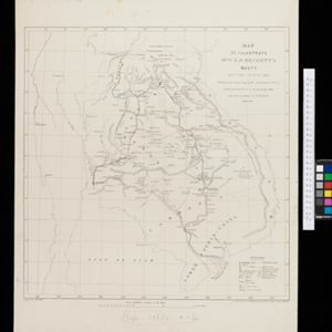
Map to illustrate Mr. W.R.D. Beckett's route, Novr. 1891-April 1892
1893
Vietnam, Thailand, Cambodia, Laos
The route of W.R.D. Beckett between Bangkok and Saigon, partly along the Mekong River, is marked on this map, along with trade routes, police posts, mines (copper, iron, gold), and products (the spice cardamom, and resin benzoin (‘Gumbenjamin’)).
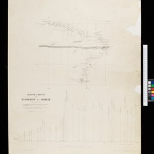
Sketch of route from Sisophon to Korat / Sketch of route from Korat to Nongkhai
1893
Cambodia, Thailand
Routes of W.R.D. Beckett between Sisophon (Cambodia) and Korat, and Korat and Nongkhai (both Thailand) are marked on these two maps, with lacquer trees, paddy fields, bog iron, salt fields shown. The heights of locations along the route are recorded.
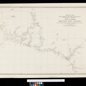
Sketch map shewing the rivers and an outline of the coast... Gulf of Papua, British New Guinea
1893
Papua New Guinea
Map of part of the east coast of the Gulf of Papua, with river mouths, shoals, bathymetry (water depth). On land, notes on terrain (‘Hills 100 to 150 ft. high’), land (‘Good soil’), vegetation (‘Nipa and Sago Palms’) and people (‘Ipikoi Tribe’).
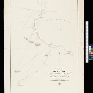
Sketch map of the head of Collingwood Bay
1892
Papua New Guinea
Map of Collingwood Bay, north coast of New Guinea, with bearings to mountains, bathymetry (sea depth), shoals and reefs. On land, notes on terrain (‘sloping plains’, ‘Stiff clay soil’), vegetation (‘Casuarina trees’) and people (‘FRIENDLY TRIBE’).
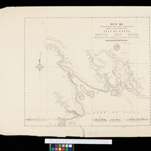
Sketch map shewing the rivers and an outline of the coast... Gulf of Papua, British New Guinea
1892
Papua New Guinea
Map of part of the west coast of the Gulf of Papua, with islands, river mouths, shoals, bathymetry (water depth), notes to aid navigation. On land, notes on terrain (‘Limestone Hill’), vegetation (‘Pandanus & Nipa Palms’) and people (‘Paia Tribe’).
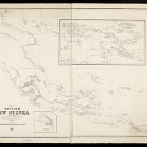
Map of British New Guinea
1892
Papua New Guinea, Indonesia
Map of British New Guinea, focusing on the sea (islands, shoals, reefs), coast (settlements, bays), mountains and land (‘dense forest’, ‘timbered with Eucalyptus’). Inset maps of Port Moresby, Samarai Island, and the whole island of New Guinea.
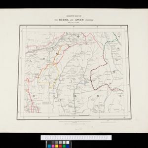
Skeleton map of the Burma and Assam frontier
1891
Myanmar
Map of Upper Burma showing the border with Assam (India) and China. The names of indigenous peoples are shown (‘Singphos’), along with the Irrawaddy River, railways and resources (‘Teak Forests’, mines (silver, copper, sulphur, rubies, coal, jade)).

British Burma, Pegu division: With additions to railways up to 1891
1891
Myanmar
Topographical map of the Pegu Division of British Burma (Myanmar), spread over four sheets. In addition to mountains, forests, rivers and wetlands, rice fields, routes (road, railway, path, telegraph), villages and pagodas are marked.
- Filter from 1671 to 1900
- [remove]Jungle/Wooded Area52
- Mountain/Volcano43
- Wetlands19
- Mangrove9
- Wild Animals2

