
Search Results


Overzichtskaart van de Residentie Besoeki
1899
Indonesia
This map of the residency of Besoeki (Banyuwangi Regency, East Java) is divided into regencies and districts. Heights of mountains and settlements are given in metres, and distances are shown along roads. Sugar factories and fishing ponds are marked.

Kaart der residentie Zuider- en Ooster-afdeeling van Borneo
1899
Indonesia
On this map, the residency of South and East Borneo is divided into departments (green borders) and provinces (yellow borders). There is an inset plan of the city of Banjarmasin, with rivers, buildings, residential areas, roads and crops marked.

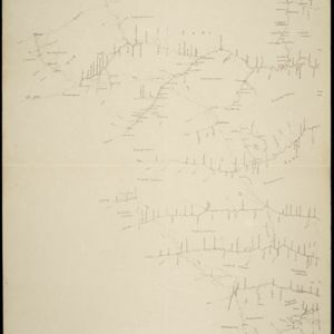
Kaart van de Vallei van Pidië, de Moekim VII en de Vallei van Tangsé
1899
Indonesia
Large-scale topographic map of the northeast coast of Sumatra around the city of Sigli, Aceh, spread over 16 sheets plus a cover sheet of the whole area. The map focuses on two river valleys, mountains, marshland, villages and rice paddies.


Kaart van het gebied bezet in Groot-Atjèh
1898
Indonesia
A six-sheet map of Groot-Atjèh (Aceh, northern Sumatra) focusing on areas occupied during the Aceh War (1873–1904) between the Sultanate of Aceh and Dutch colonists. It shows military positions and fortifications, buildings, routes and crops.

Overzichtskaart van Groot-Atjeh en aangrenzende kuststaten
1898
Indonesia
Map of Groot-Atjeh (Aceh, Sumatra), focusing on the area around the capital Kota Radja (Banda Aceh) and along the coasts. There is a list of telephone connections in the area, and an inset map of the region divided into administrative districts.

Schetskaart van het Toba-meer en aangrenzende landstreken
1898
Indonesia
Map of Lake Toba and the surrounding area in northern Sumatra, featuring mountains, forests, types of terrain (undergrowth, field, grass), rivers, roads and settlements. There is an inset map that shows the other maps referenced in producing the map.

Kaart de residentie Wester-afdeeling van Borneo
1898
Indonesia
Topographical map of western Borneo, with inset maps of the islands off the west coast, and of the city of Pontianak including the docks and crops grown near the city (rice, coconut, mangosteen, sago, alang-alang, indigo plant, sugarcane, bamboo).

- Filter from 1719 to 1900
- Port39
- Railway Station21
- Pier12
- River148
- Road134
- Path101
- Railway/Tramway58
- Postal Route54
- Telegraph/Telephone23
- Canal21
- Bridge19
- [remove]District/Administrative Border158
- Civic/Metropolitan Border31
- Colonial Possessions22
- Regional Border3
- National Border1
- [remove]Wetlands158
- Mountain/Volcano148
- Jungle/Wooded Area78
- Mangrove10
- Wild Animals4


