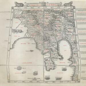
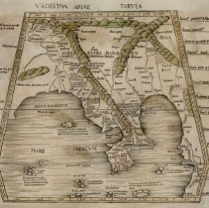
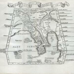
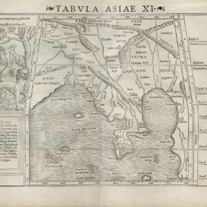
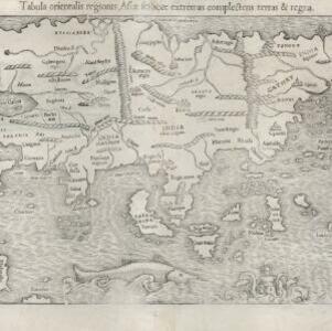
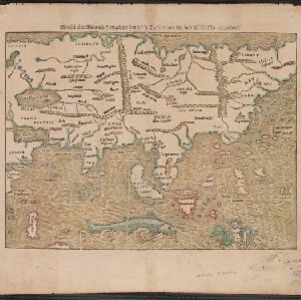
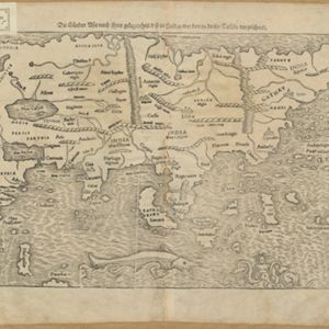
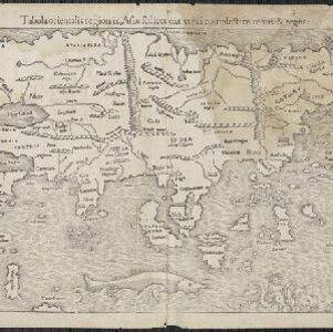
Vndecima Asiae Tabvla
1478
Cambodia, Laos, Malaysia, Myanmar, Singapore, Thailand, Vietnam
Based on the work of 2nd century geographer Ptolemy, this map has Latin inscriptions, including mentions of a mythical race of cannibals (‘Anthropophagi’) and hippopotamuses. The Malay Peninsula is labelled ‘Aurea Chersonesus [Golden Chersonese]’.