Search

Search Results

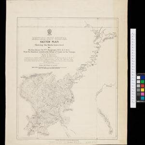
British New Guinea: Sketch plan showing the route traversed by His Excellency Sir Wm. Macgregor... from the Mambre mouth to the village of Gosisi on the Vanapa

event1897

location_onPapua New Guinea

Map of the Mambare River from Mount Victoria to the sea at Duvira (or Traitors) Bay, British New Guinea. Villages, bases, camps and stores are marked, and there are notes on terrain (‘Low Hills’), vegetation (‘Betal Palms’), river width, rapids etc.

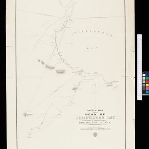
Sketch map of the head of Collingwood Bay

event1892

location_onPapua New Guinea

Map of Collingwood Bay, north coast of New Guinea, with bearings to mountains, bathymetry (sea depth), shoals and reefs. On land, notes on terrain (‘sloping plains’, ‘Stiff clay soil’), vegetation (‘Casuarina trees’) and people (‘FRIENDLY TRIBE’).

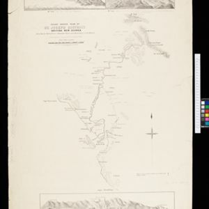
Rough sketch plan of St. Joseph District, British New Guinea

event1890

location_onPapua New Guinea

Map of part of British New Guinea with notes on terrain (‘Swamp’), vegetation (‘Grass & wood patches with old gardens’) and people (‘Oru tribe’), and three elevation views of mountain ranges. Some villages are marked as having ‘resident teachers’.

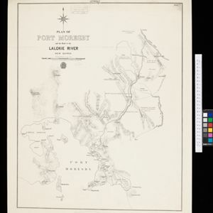
Plan of Port Moresby and the road to the Lolokie River: New Giunea

event1887

location_onPapua New Guinea

This map focuses on the capital city of British New Guinea, Port Moresby, and the road heading north-east from the city to the Laloki River. Along the road, there are descriptions of the terrain (‘Open flat fairly grasses timbered with bastard Gum’).

close

  • Filter from 1887 to 1897

Current results range from 1887 to 1897