Search

Search Results

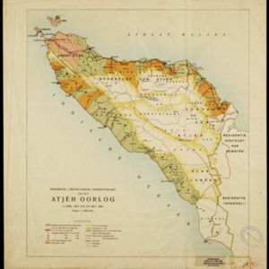
Historische, chronologische overzichtskaart van den Atjeh oorlog

event1898

location_onIndonesia

The Aceh War (1873–1904) between the Sultanate of Aceh and Dutch colonists is highlighted on this map, with areas coloured to show when the Dutch conquered them. Settlements are marked with flags indicating their status; military roads are in red.

Sumatra

eventc.1899-1902

location_onIndonesia

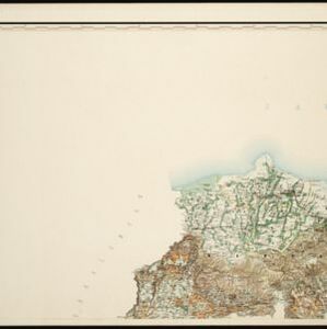
Eight sheets from a large-scale detailed topographic map of Sumatra (many other sheets are missing). Includes crops (rice, coconut, coffee, banana, sugar, gambier, cinnamon, bamboo, alang-alang, arenga palm), routes (railways, roads), settlements.

Upper Burma

event1899

location_onMyanmar, Thailand

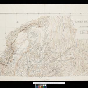
Map of Upper Burma, showing the borders with Assam (India), China and Siam (Thailand), as well as internal administrative borders. Mountains with their heights, settlements, rivers and railways (completed, proposed and under construction) are shown.

Het door Nederland bezette gebied van Groot-Atjeh met de naaste omgeving

event1899

location_onIndonesia

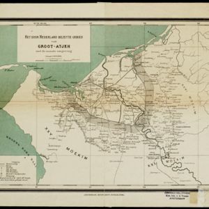
Map focusing on Kota Radja (city of Banda Aceh, Sumatra) during the Aceh War (1873–1904) fought between the Sultanate of Aceh and Dutch colonists. Dutch forts are shown in a zone around the city, and villages are marked in the surrounding country.

Overzichtskaart van Groot-Atjeh en aangrenzende kuststaten

event1898

location_onIndonesia

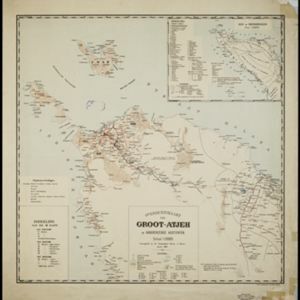
Map of Groot-Atjeh (Aceh, Sumatra), focusing on the area around the capital Kota Radja (Banda Aceh) and along the coasts. There is a list of telephone connections in the area, and an inset map of the region divided into administrative districts.

Voorontwerp eener spoorweghaven te Soerabaia

event1898

location_onIndonesia

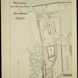
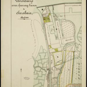
Spread over four sheets, this is a detailed hand-drawn plan for railway and tramway lines at the port of Soerabaia (Surabaya, East Java). It includes a railway station, commercial areas, housing, customs, warehouses, offices and government buildings.

Topographische kaart der residentie Semarang

event1898

location_onIndonesia

The residency of Semarang, Central Java, featuring crops (coffee, rice, bamboo, nipa palm); cemeteries, post offices, railway stations; routes (railway, postal, road, canal), administrative borders; mountains, rivers, forests.

[Batavia en omgeving]

event1898

location_onIndonesia

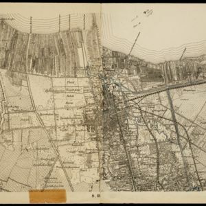
Four sheets from a larger series of maps, showing the city of Batavia (Jakarta, Java). The port, railway network and city centre are shown in great detail. To the west and south of the centre, there are villages, rice paddies, fields and wetlands.

Kaart van het gebied bezet in Groot-Atjèh

event1898

location_onIndonesia

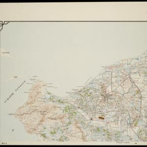
A large-scale map of Groot-Atjceh, northern Sumatra, spread over six sheets, and featuring details such as routes, crops (rice, banana, sugarcane, alang-alang, bamboo), mountains and wetlands, and settlements (city of Kota Radja (modern Banda Aceh)).

Map of the Island of Singapore and its dependencies

event1898

location_onSingapore

Map of Singapore Island, divided into Districts, including the surrounding islands and straits. The city centre, roads and forests are marked. MacRitchie Reservoir is at the centre of the island, with coconut plantations along the east coast.

India

event1898

location_onIndonesia, Malaysia, Myanmar, Thailand

British Burma is coloured pink on this six-sheet map of India. Mountains are represented by hachures—short lines/dashes that give a sense of the shape and steepness of terrain—and settlements, railways, roads, rivers and lighthouses are marked.

close