Search Results

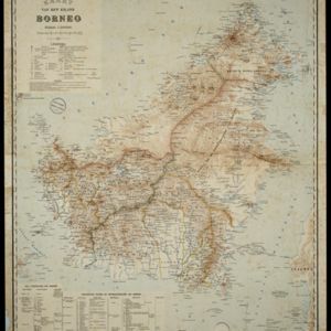
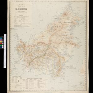
Atlas van Nederlandsch Oost-Indië
c.1897-1904
Indonesia
Very detailed atlas of the entire Dutch East Indies, over 16 map sheets, with a cover and overview map. Includes topographic maps, inset maps of cities and islands, and maps featuring land and sea routes, languages, geology, colonial territory etc.

Plan of the town and suburbs of Rangoon
c.1895-1897
Myanmar
Detailed plan of the city of Rangoon (Yangon, Myanmar) with commercial, religious, government and military buildings, surrounded by lakes, fields of crops and villages. Someone has drawn details on the map of areas that have undergone ‘levelling’.
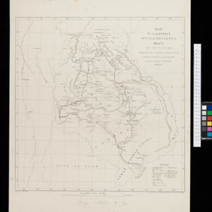
Map to illustrate Mr. W.R.D. Beckett's route, Novr. 1891-April 1892
1893
Vietnam, Thailand, Cambodia, Laos
The route of W.R.D. Beckett between Bangkok and Saigon, partly along the Mekong River, is marked on this map, along with trade routes, police posts, mines (copper, iron, gold), and products (the spice cardamom, and resin benzoin (‘Gumbenjamin’)).
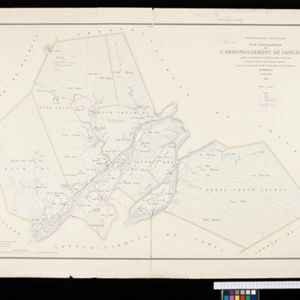
Plan topographique de l'arrondissment de Longxuyen
1886
Vietnam
Map of the district of Longxuyen (Long Xuyên in the Mekong Delta, Vietnam). The city of Long Xuyên is on the southern bank of the Bassac River (labelled ‘Fleuve Postérieur’ and ‘Fleuve Antérieur’), surrounded by rivers, wetlands, fields and villages.
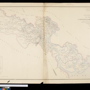
Plan topographique de l'arrondissement de Saigon
1885
Vietnam
Map of the district of Saigon (Ho Chi Minh City, Vietnam), based around the Fleuve Soirap (Soài Rạp River) as it winds its way down to the South China Sea. The city of Saigon is on its banks, surrounded by more rivers, roads, fields and villages.
- Filter from 1885 to 1899
- [remove]Canal8
- River8
- [remove]Telegraph/Telephone8
- Road6
- Railway/Tramway5
- Path4
- Bridge3
- Postal Route1

