Search

Search Results

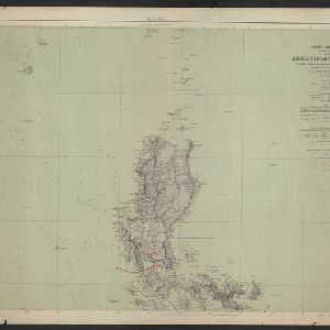
Carta general (en dos hojas) del Archipiélago Filipino

event1900

location_onPhilippines

A Spanish military map of the northern Philippine island of Luzon, highlighting cable and telegraph lines, and aids to maritime navigation such as bathymetry (sea depth) and tide data. A conversion table for metres, fathoms and feet is also shown.

Military map of the Isle of Luzon

event1900

location_onPhilippines

A map of Luzon, Philippines divided into military and civilian regions. Made for the American military, it features roads, railways, telegraph lines, mountains and rivers. An inset map of Manila shows military, civil and religious buildings.

Military district no. 1: Department of northern Luzon

event1900

location_onPhilippines

A map of the northwest coastal region of Luzon, Philippines made for the American military during the Philippine–American War (1899–1902). The area is divided into provinces, and major roads, settlements, mountains and rivers are marked.

Island of Luzon

event1900

location_onPhilippines

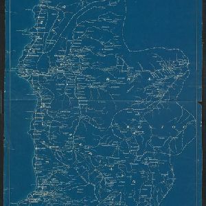
This map of part of the Philippine island of Luzon was compiled during the Philippine–American War (1899–1902), and is marked with routes (paths, wagon roads), land types (grass, woods, swamp) and crops (rice, coconuts, nipa palm, cane sugar, corn).

Kaart van het eiland Borneo

event1899

location_onMalaysia, Indonesia, Brunei

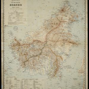
This map of Borneo is divided between two residencies of the Dutch East Indies (Residentie Westerafdeeling van Borneo and Residentie Zuider en Oosterafdeeling van Borneo), and the British protectorates of Sarawak and British North Borneo.

Kaart van het eiland Borneo

event1899

location_onBrunei, Indonesia, Malaysia

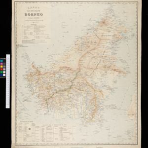
This map of Borneo is divided between two residencies of the Dutch East Indies (Residentie Westerafdeeling van Borneo and Residentie Zuider en Oosterafdeeling van Borneo), and the British protectorates of Sarawak and British North Borneo.

Kaart van het gebied bezet in Groot-Atjèh

event1898

location_onIndonesia

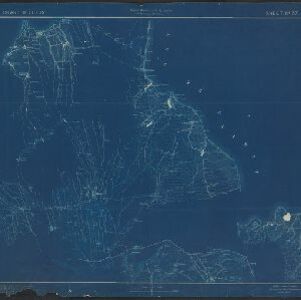
A six-sheet map of Groot-Atjèh (Aceh, northern Sumatra) focusing on areas occupied during the Aceh War (1873–1904) between the Sultanate of Aceh and Dutch colonists. It shows military positions and fortifications, buildings, routes and crops.

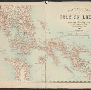
Military map of the Isle of Luzon

event1898

location_onPhilippines

A map of southern Luzon, Philippines divided into military and civilian regions. Made for the American military just before the Philippine–American War (1899–1902), it features settlements, roads, railways, telegraph stations, mountains and rivers.

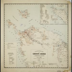
Overzichtskaart van Groot-Atjeh en aangrenzende kuststaten

event1898

location_onIndonesia

Map of Groot-Atjeh (Aceh, Sumatra), focusing on the area around the capital Kota Radja (Banda Aceh) and along the coasts. There is a list of telephone connections in the area, and an inset map of the region divided into administrative districts.

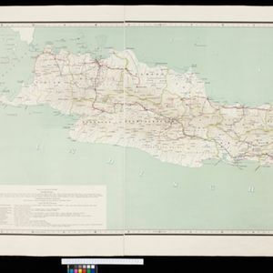
Handelskaart van Java en Madoera

event1898

location_onIndonesia

Map of Java and Madura showing routes, especially for trading purposes, including railways, tramways, roads, ports for steamship services, harbours for different types of imports and exports. A list of train and tram routes is included.

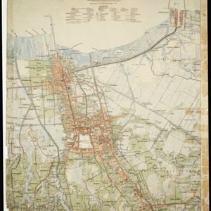
Kaart van Batavia en omstreken

event1897

location_onIndonesia

This map shows the port of Tanjung Priok (‘Tandjoeng Prijoek’) at the top right. Built from 1877 to replace the old port in the centre of Batavia (Jakarta), it connected to the city via a railway line. The city is surrounded by villages and fields.

Atlas van Nederlandsch Oost-Indië

eventc.1897-1904

location_onIndonesia

Very detailed atlas of the entire Dutch East Indies, over 16 map sheets, with a cover and overview map. Includes topographic maps, inset maps of cities and islands, and maps featuring land and sea routes, languages, geology, colonial territory etc.

close