Search

Search Results

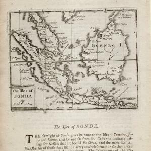
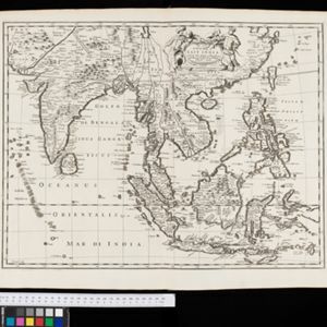
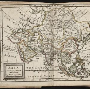
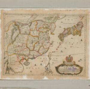
[Chart of the Indian Ocean]

event1682

location_onCambodia, Indonesia, Malaysia, Myanmar, Singapore, Thailand

Colourful hand-drawn portolan (nautical) navigation chart, featuring a rhumbline network (the web of interconnected lines), islands, shoals and reefs. With elaborately decorated scales and compass roses. Mounted on folding wood boards.

Asia divided into its principall regions in which may be seen the extent of the Empires, Monarchies, Kingdoms and States which at present divide Asia

event1680

location_onBrunei, Cambodia, East Timor, Indonesia, Laos, Malaysia, Myanmar, Papua New Guinea, Philippines, Singapore, Southeast Asia, Thailand, Vietnam

This late 17th century map of Asia is by William Berry, based on an earlier map by the French cartographer Nicolas Sanson. Dedicated to King Charles II, it features the royal coat of arms of the United Kingdom in its elaborate cartouche.

The isles of Sonda

event1680

location_onBrunei, Indonesia, Malaysia, Singapore

From Robert Morden’s ‘Geography Rectified’, a description with maps of the known world in the late 17th century. Text describes the peoples of the uplands of the Sunda Islands as ‘Pagans’, while the coastal peoples are ‘Mahumetans [Muslims]’.

The Molucca Ilands &c.

eventc.1680-1700

location_onEast Timor, Indonesia, Philippines

From Robert Morden’s ‘Geography Rectified’, a description with maps of the known world in the late 17th century. The map shows the Moluccas, but the text describes the Philippines: Spanish colonial rule, trade, the city of Manila and port of Cavite.

A New Map of East India

event1676

location_onMyanmar, Cambodia, Thailand, Vietnam, Brunei, Laos, Malaysia, Philippines, Indonesia, East Timor, Southeast Asia

This 17th century map of Asia is based on a map by the Dutch cartographer Frederik de Wit (c. 1629–1706). The text is in the original Latin, except for the title which has been changed to English. The original cartouche has also been retained.

A new map of East India

event1676

location_onBrunei, Cambodia, East Timor, Indonesia, Laos, Malaysia, Myanmar, Philippines, Singapore, Southeast Asia, Thailand, Vietnam

This colourful 17th century map highlights the mountain ranges and rivers of Southeast Asia and India. The cartouche features an illustration of Asian men wearing brightly-coloured clothing and carrying bows and arrows.

A new plaine and exact map of Asia

event1671

location_onBrunei, Cambodia, East Timor, Indonesia, Laos, Malaysia, Myanmar, Philippines, Singapore, Southeast Asia, Thailand, Vietnam

This colourful map of Asia is illustrated with drawings of Asian people wearing traditional clothing, including a man and woman from Java in Southeast Asia, and drawings of important ports such as Bantan (Banten) situated at the western end of Java.

Asia according to ye newest observations

eventc.1670-1732

location_onBrunei, Cambodia, East Timor, Indonesia, Laos, Malaysia, Myanmar, Papua New Guinea, Philippines, Singapore, Southeast Asia, Thailand, Vietnam

A map of Asia by the London-based cartographer Herman Moll (1654?–1732) with colour-coded regional borders. In Southeast Asia, each major land mass or island has its own coloured border.

A new mapp of y Empire of China: with its severall provinces or kingdomes, together with the adjacent isles of Japan or Niphon, Formosa, Hainan etc.

event1669

location_onCambodia, Laos, Philippines, Thailand, Vietnam, Myanmar

Although mainly of China and Japan, this map includes some of the northern parts of Southeast Asia. The map is dedicated to Sir Thomas Peyton, an English Member of Parliament who was imprisoned for supporting the king during the English Civil War.

Asia with the islands adioyning described, the atire of the people, & townes of importance

eventc.1646-1657

location_onBrunei, Cambodia, East Timor, Indonesia, Laos, Malaysia, Myanmar, Philippines, Singapore, Southeast Asia, Thailand, Vietnam

This map is illustrated with drawings of Asian people wearing traditional clothing, including representatives of Sumatra, Java and the Maluku Islands. There are also drawings of important ports such as Bantam (Banten) at the western end of Java.

Description of East India

event1625

location_onMyanmar

The city of Pegu (Bago, Myanmar), some other settlements, and a river named Martabam Auia are shown in the lower right of this 17th century map of Hindustan (Indian subcontinent). The genealogical seal of the Mughal emperors of India is top right.

close