Search

Search Results

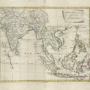
Le Indie Orientali e il loro arcipelago

event1799

location_onVietnam, Myanmar, Malaysia, Philippines, Singapore, Southeast Asia, Thailand, Laos, Indonesia, East Timor, Cambodia, Brunei

A late 18th century map of Asia featuring rivers, mountains, reefs and shoals. Regions are colour-coded, with the borders of the kingdoms of mainland Southeast Asia in green, and the islands of maritime Southeast Asia in yellow and red.

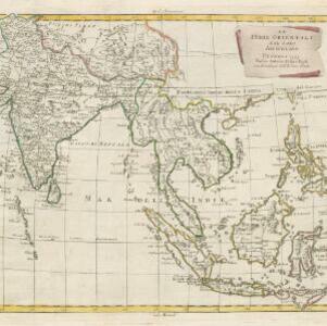
Le Indie Orientali e il loro arcipelago

event1795

location_onBrunei, Cambodia, East Timor, Indonesia, Laos, Malaysia, Myanmar, Philippines, Singapore, Southeast Asia, Thailand, Vietnam

A late 18th century map of Asia featuring rivers, mountains, reefs and shoals. Regions are colour-coded, with the borders of the kingdoms of mainland Southeast Asia in green, and the islands of maritime Southeast Asia in yellow and red.
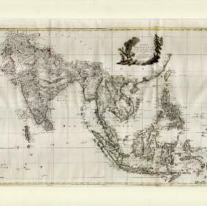
Indie Orientali di qua e di la dal Gange col loro arcipelago

eventc.1775-1785

location_onBrunei, Cambodia, East Timor, Indonesia, Laos, Malaysia, Myanmar, Philippines, Singapore, Southeast Asia, Thailand, Vietnam

From Antonio Zatta's atlas ‘Atlante Novissimo’, this late 18th century map of Asia features a decorative cartouche consisting of drawings of Asian plants, a ceramic pot emitting smoke, two archery quivers, and pearls in shells.

Isole di Banda nelle Molucche

event1692

location_onIndonesia

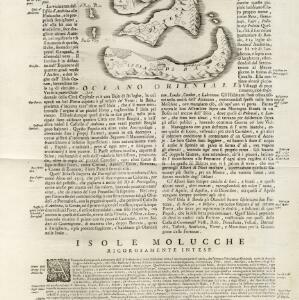
Map of the Banda Islands from Vicenzo Coronelli's ‘Corso Geografico Universale’, including a volcano on Gunappi (Banda Api), and a military fort on Nera (Banda Neira). Italian text describes the crops, trade, animals and people of the Maluku Islands.

Isole dell'Indie divise in Filippine, Molucche e della Sonda

eventc.1691-1696

location_onBrunei, Cambodia, East Timor, Indonesia, Laos, Malaysia, Myanmar, Philippines, Singapore, Southeast Asia, Thailand, Vietnam

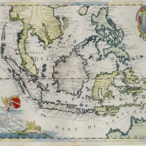
Dotted lines and colours divide maritime Southeast Asia into three regions on this map: the Philippine archipelago, Maluku Islands and Sunda Islands. The cartouche features cherub mermaids carrying a banner and shield.

Isole dell'Indie divise in Filippine, Molucche e della Sonda

event1680

location_onBrunei, Cambodia, East Timor, Indonesia, Malaysia, Laos, Myanmar, Philippines, Singapore, Southeast Asia, Thailand, Vietnam

Dotted lines and colours divide maritime Southeast Asia into three regions on this map: the Philippine archipelago, Maluku Islands and Sunda Islands. The cartouche features cherub mermaids, and a map of mainland Southeast Asia is on the reverse.

Isole Molvcche

event1605

location_onBrunei, Cambodia, Indonesia, Laos, Malaysia, Philippines, Singapore, Southeast Asia, Thailand, Vietnam, East Timor

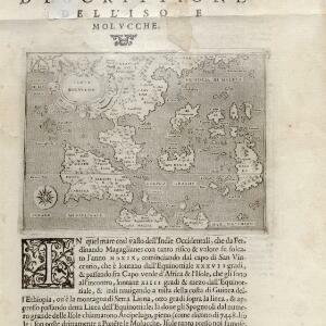
This map shows some inaccuracies, especially in the shape of the Malay Peninsula and the islands meant to represent Sumatra (labelled ‘Camatra’), Java (‘Iava Mazor’) and Borneo (‘Iava Menor’). Latin text describes the Maluku Islands.

Asia

event1598

location_onBrunei, Cambodia, East Timor, Indonesia, Laos, Malaysia, Myanmar, Philippines, Singapore, Southeast Asia, Thailand, Vietnam

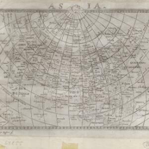
This late 16th century map features a 'wind-head', a decorative feature consisting of a drawing of the head of a human blowing to indicate wind.

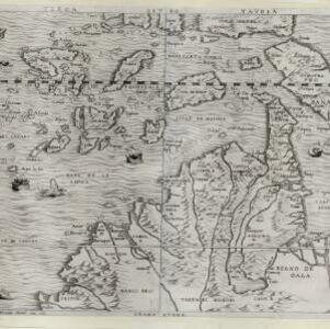
Terza Tavola

event1565

location_onBrunei, Cambodia, East Timor, Indonesia, Laos, Malaysia, Myanmar, Philippines, Singapore, Southeast Asia, Thailand, Vietnam

South is orientated towards the top of this map, with maritime Southeast Asia in the upper half and the mainland below. Top right is Java (‘Iava Magiore [Java Major]’); Borneo is labelled ‘Iava Menore [Java Minor]’. Ships and sea monsters are at sea.

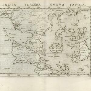
India tercera nvova tavola

event1561

location_onCambodia, Indonesia, Laos, Malaysia, Myanmar, Philippines, Singapore, Southeast Asia, Thailand, Vietnam, Brunei

This mid-16th century map of Southeast Asia shows some inaccuracies, especially in the shape of the Malay Peninsula and the islands meant to represent Sumatra (labelled ‘Camatra’), Java (‘Iava Mazor’) and Borneo (‘Iava Menor’). Latin text on reverse.

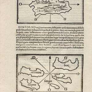
[Java Minor and map of Necumera, Locaz, Patera, Botegon, Mangama]

event1547

location_onThailand, Indonesia

Taken from Benedetto Bordone's ‘Isolario [The Book of Islands]’, these pages contain two maps: one of Sumatra (‘Iaua Minore’), and one of a group of five unknown islands (Locaz is thought to possibly be Thailand).

close

  • Filter from 1547 to 1799

Current results range from 1547 to 1799