Search

Search Results

Map of the Kingdom of Siam and its dependencies

eventc.1900

location_onMyanmar, Malaysia, Singapore, Thailand, Laos, Cambodia, Vietnam

The border of the Kingdom of Siam (Thailand) and its internal administrative districts are highlighted in yellow. Inset maps show the cities of Bangkok, Chiengmai (Chiang Mai) and Luang Pra Bang (Luang Prabang) in more detail.

Burma

event1899

location_onMyanmar

A large-scale topographical map of the states of Hsipaw, Lawksawk and Mongkung, within the Shan State of Burma (Myanmar). Elevation is indicated by contour lines, and travel and trade routes, villages, areas of cultivation and markets are also shown.

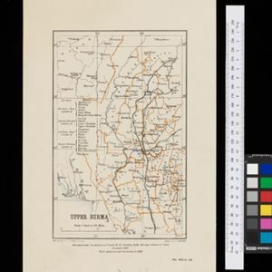
Upper Burma

event1899

location_onMyanmar, Thailand

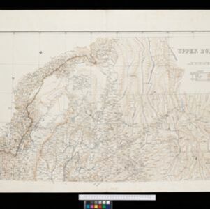
Map of Upper Burma, showing the borders with Assam (India), China and Siam (Thailand), as well as internal administrative borders. Mountains with their heights, settlements, rivers and railways (completed, proposed and under construction) are shown.

Indo-Chine: carte de la mission Pavie

event1899

location_onCambodia, Laos, Myanmar, Thailand, Vietnam

Spread over four sheets, this topographical map was based on the explorations of the French civil servant Auguste Pavie. Lasting 16 years (1879–1895), his ‘Missions Pavie’ explored all of mainland Southeast Asia.

Upper Burma

event1898

location_onMyanmar, Thailand

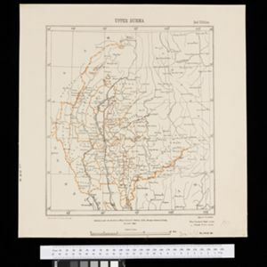
Map of Upper Burma divided into Divisions and Districts, and featuring the Irrawaddy and Chindwin rivers, the Burma State Railway, and settlements including the city of Mandalay.

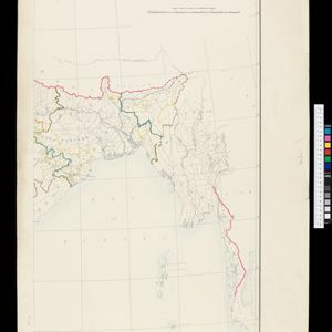
Burma and adjacent countries: With additions and corrections to boundaries and railways up to December, 1898

event1898

location_onMyanmar, Thailand

The regional and national borders of Burma and Siam are hand-coloured on this map. Provinces, districts and states within Burma are also highlighted, and itemised in a separate list.

Karenni boundaries

event1898

location_onMyanmar

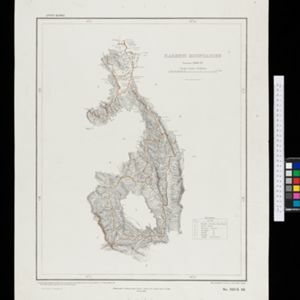
Map of the four Karenni States—Nammekon, Naungpale, Bawlake, Kyebogyi—in Burma (modern Kayah State, Myanmar) and surrounding areas. Mountains are represented by hachures: short lines/dashes that give a sense of the shape and steepness of terrain.

Burma with parts of India, China and Siam

event1888

location_onMyanmar, Laos, Thailand

Map of Burma used as advertising by a clothing shop in Rangoon (Yangon, Myanmar). There is a calendar with each day marked with an historic event. The map is labelled with indigenous peoples (uppercase red text) and products of each area.

Soematra, Bangka en de Riouw-Lingga Archipel

event1897

location_onMalaysia, Indonesia, Singapore, Myanmar

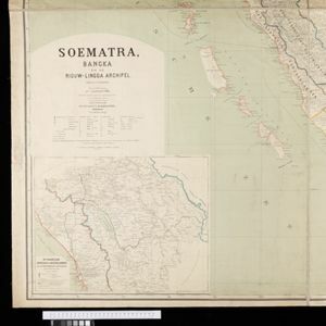
Map of Sumatra and surrounding islands, with residencies—administrative districts—shown by coloured borders. There are inset maps of two residencies surrounding Padang, and of Groot-Atjeh (Aceh). Rivers, railways, roads and settlements are marked.

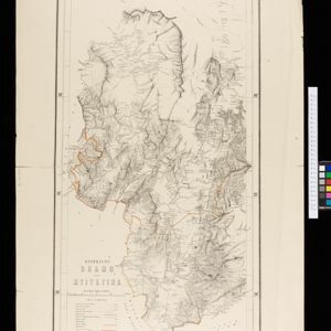
Districts Bhamo and Myitkyina

event1896

location_onMyanmar

Map of two districts in northern Burma (Myanmar) featuring the Irrawaddy River, the Burma State Railway (and others under construction), and mines (ruby, amber, jade). High points are marked with their heights so they can be used for triangulation.

Upper Burma: With additions and corrections to 1896

event1896

location_onMyanmar

Map of Upper Burma divided into Divisions and Districts, and featuring the Irrawaddy and Chindwin rivers, the Burma State Railway, and settlements including the city of Mandalay.

India

event1895

location_onMyanmar

On this map of India, Burma (Myanmar) is divided into administrative regions. Borders with India and Siam are hand-coloured.

close