
Search Results


- Filter from 1618 to 1900
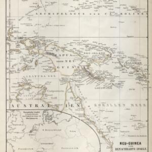
- [remove]Papua New Guinea37
- Indonesia31
- East Timor27
- Philippines26
- Malaysia25
- Singapore24
- Vietnam23
- Brunei22
- Cambodia22
- Southeast Asia22
- Thailand22
- Laos21
- more Simple Location »
- Port4
- [remove]Maritime Route37
- Bathymetry11
- Current Data5
- Tide Data5


