Search

Search Results

Itinéraire de Hanoi à That-khe par Lang-son (Frontière Chinoise du Kouang-Si)

event1881

location_onVietnam

A late 19th century map depicting a route from Hanoi to That-Khe via Lang-Son (in northern Vietnam, near the border with China at Kouang-Si (Guangxi)). Two inset maps feature plans of military forts, villages, rivers and fields along the route.

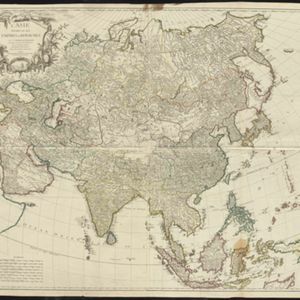
L'Asie divisée en ses Empires et Royaumes

event1778

location_onBrunei, Cambodia, East Timor, Indonesia, Laos, Malaysia, Myanmar, Philippines, Singapore, Southeast Asia, Thailand, Vietnam

This map shows the empires and kingdoms of Southeast Asia. Its decorative cartouche features drawings of plants, a camel, a vase, and the heads of children blowing to represent wind. An inset shows tall buildings, possibly Asian temples.

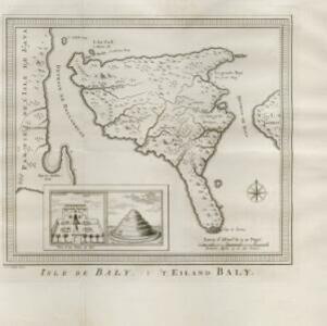
Isle de Baly = 'T eiland Baly

eventc.1772-1780

location_onIndonesia

Amongst the mountains and jungles of mid-18th century Bali, this map shows three royal palaces, walled encampments, and seven Buddhist temples (or ‘stupa’) on the east coast. Inset illustrations depict a palace and a temple in detail.

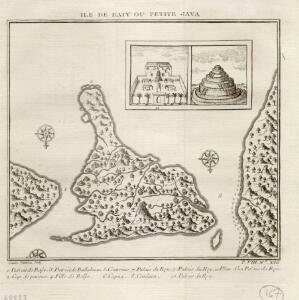
Ile de Baly ou petite Java

event1770

location_onIndonesia

Amongst the mountains and jungles of mid-18th century Bali, this map shows three royal palaces, walled encampments, towns, and seven Buddhist temples (or ‘stupa’) on the east coast. Inset illustrations depict a palace and a temple in detail.

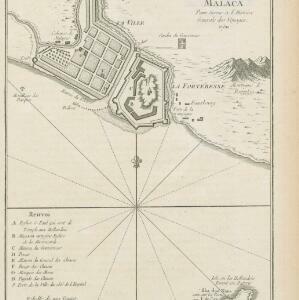
Plan de la ville et forteresse de Malaca: pour servir à l'histoire generale des voyages

event1750

location_onMalaysia

This mid-18th century plan of the city of Malaca (Malacca/Melaka) focuses on the military fort (‘A Famosa [The Famous]’), but also includes two churches, a mosque and a Chinese temple. Two markets are also marked, as is the entrance to the port.

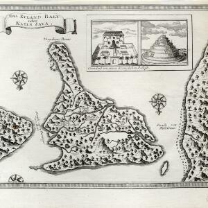
Das eyland Baly oder klein Java

event1750

location_onIndonesia

Amongst the mountains and jungles of mid-18th century Bali, this map shows three royal palaces, walled encampments, towns, and seven Buddhist temples (or ‘stupa’) on the east coast. Inset illustrations depict a palace and a temple in detail.

close