Search Results

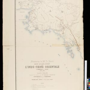
Itinéraires de Mr A. Pavie dans le Sud-Ouest l'Indo-Chine Orientale (Cambodge et Siam) (1880-1884)
1884
Thailand, Cambodia
The routes taken by the French civil servant and explorer Auguste Pavie are marked on this map of Siam (Thailand) and Cambodge (Cambodia), along with the telegraph line that he subsequently constructed from Pnom Penh (Phnom Penh) to Bangkok.

Itinéraire de Hanoi à That-khe par Lang-son (Frontière Chinoise du Kouang-Si)
1881
Vietnam
A late 19th century map depicting a route from Hanoi to That-Khe via Lang-Son (in northern Vietnam, near the border with China at Kouang-Si (Guangxi)). Two inset maps feature plans of military forts, villages, rivers and fields along the route.

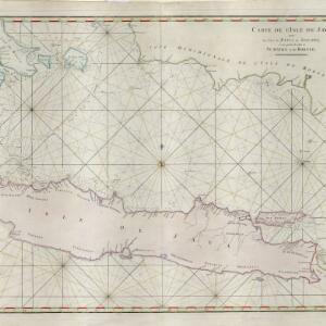
Carte de l'Isle de Java, avec les isles de Banca, de Billiton, et une partie de celles de Sumatra et de Borneo
1775
Indonesia
This 18th century maritime navigation map charts the waters between the islands of Java, Sumatra and Borneo. A route south towards the Sunda Strait, as taken by the French ship Mascarin in March and April 1772, is highlighted.


