Search

Search Results

[Outline map of the capital Co-loa, North Vietnam]

event1900

location_onVietnam

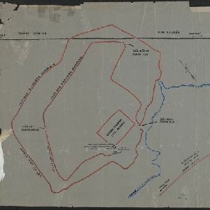
This map of the fortified settlement of Cổ Loa (near Hanoi, northern Vietnam) shows the royal city, battlements and gates, a temple and a well. Artefacts dating to the Bronze Age have been found on this early site of Vietnamese civilization.

Burma

event1899

location_onMyanmar

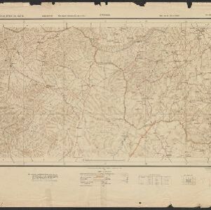
A large-scale topographical map of the states of Hsipaw, Lawksawk and Mongkung, within the Shan State of Burma (Myanmar). Elevation is indicated by contour lines, and travel and trade routes, villages, areas of cultivation and markets are also shown.

Kaart van het gebied bezet in Groot-Atjèh

event1898

location_onIndonesia

A six-sheet map of Groot-Atjèh (Aceh, northern Sumatra) focusing on areas occupied during the Aceh War (1873–1904) between the Sultanate of Aceh and Dutch colonists. It shows military positions and fortifications, buildings, routes and crops.

Parts of Burma, Siam and the Shan States

event1886

location_onMyanmar, Thailand

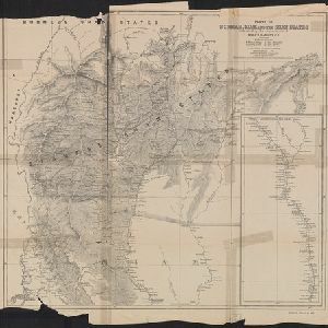
This map charts the journey of Holt S. Hallett as he searched for a suitable route for a railway to transport British goods from Burma to Thailand and China. He wrote the book ‘A Thousand Miles on an Elephant in the Shan States’ about his expedition.

Itinéraire de Hanoi à That-khe par Lang-son (Frontière Chinoise du Kouang-Si)

event1881

location_onVietnam

A late 19th century map depicting a route from Hanoi to That-Khe via Lang-Son (in northern Vietnam, near the border with China at Kouang-Si (Guangxi)). Two inset maps feature plans of military forts, villages, rivers and fields along the route.

Map of the River of Don-nai from Cape St. James to the city of Saigon

event1820

location_onVietnam

A map to aid in the navigation of the rivers leading to Saigon (Ho Chi Minh City, Vietnam). Details include bathymetry (water depth), currents, and a side view (or ‘elevation’) of hills to use as a landmark. Tides are described in written remarks.

Afbeldinge der Stadt Iudiad hooft des choonincrick Siam

event1665

location_onThailand

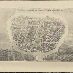
Map of the Siamese city of Ayutthaya (‘Iudiad’) represented pictorially, surrounded by rivers and with a grid-like layout of roads, rivers and buildings. The city existed from 1350 until 1767 when it was destroyed by an invading Burmese force.

close

  • Filter from 1665 to 1900

Current results range from 1665 to 1900