Search

Search Results

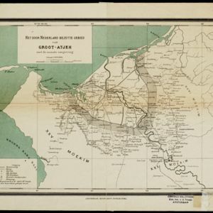
Het door Nederland bezette gebied van Groot-Atjeh met de naaste omgeving

event1899

location_onIndonesia

Map of the Island of Singapore and its dependencies

event1898

location_onSingapore

Atlas van Nederlandsch Oost-Indië

eventc.1897-1904

location_onIndonesia

Route chart to India and the East

event1895

location_onBrunei, Cambodia, East Timor, Indonesia, Laos, Malaysia, Myanmar, Philippines, Singapore, Southeast Asia, Thailand, Vietnam

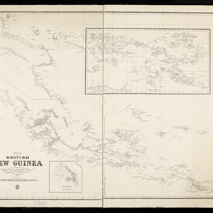
Map of British New Guinea

event1892

location_onPapua New Guinea, Indonesia

New Sketch Map of the Protected Malay State of Perak

event1892

location_onMalaysia

New sketch map of the protected Malay State of Perak

event1892

location_onMalaysia

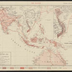
Map of South-Eastern Asia and Northern Australia: showing the districts in Annam and Tonquin which France proposes to annex and to place under a Protectorate, the portion of New Guinea proposed to be acquired by Queensland, and the districts affected by the volcanic eruptions in Java

event1883

location_onSoutheast Asia, Singapore, Thailand, East Timor, Vietnam, Brunei, Cambodia, Indonesia, Laos, Malaysia, Myanmar, Papua New Guinea, Philippines

Map of the Malay Peninsula

event1883

location_onMalaysia, Singapore

Map of the Malay Peninsula

event1883

location_onMalaysia, Singapore

Map of the Malay Peninsula 1879

event1879

location_onMalaysia, Singapore, Thailand

Military cantonments: town and suburbs of Akyab, 1853-54

event1866

location_onMyanmar

close