Search

Search Results

Commercial highways between United States and Asia and the islands of the Pacific

event1900

location_onBrunei, Cambodia, East Timor, Indonesia, Laos, Malaysia, Myanmar, Papua New Guinea, Philippines, Singapore, Southeast Asia, Thailand, Vietnam

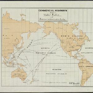
The United States Treasury Department produced this map of trade routes crossing the Pacific Ocean between the United States and Asia. Each route is labelled with the names of its ports, and with the distance between them in miles.

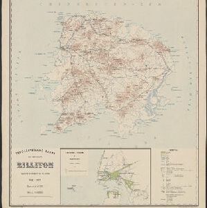
Topographische kaart van het eiland Billiton: vluchtig opgenomen in de jaren 1877-1878

event1894

location_onIndonesia

This map of the island of Billiton (Belitung, Indonesia) features mountains, rivers, railways, roads, settlements, coconut plantations and administrative borders. An inset map shows the island’s port and capital city Tanjung Pandan.

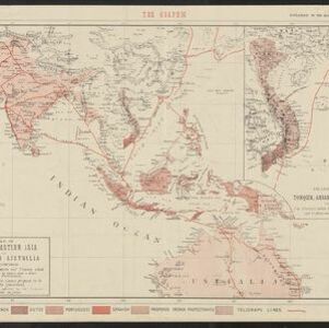
Map of South-Eastern Asia and Northern Australia: showing the districts in Annam and Tonquin which France proposes to annex and to place under a Protectorate, the portion of New Guinea proposed to be acquired by Queensland, and the districts affected by the volcanic eruptions in Java

event1883

location_onSoutheast Asia, Singapore, Thailand, East Timor, Vietnam, Brunei, Cambodia, Indonesia, Laos, Malaysia, Myanmar, Papua New Guinea, Philippines

This 1883 map shows European colonial territories in Southeast Asia. An inset map details the proposed French annexation of Tonquin, Annam and Cochin China (modern Vietnam). International telegraph lines are also marked.

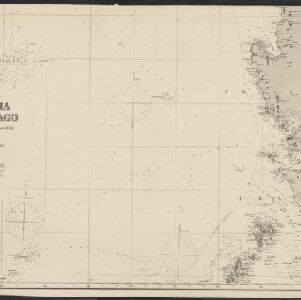
East India Archipelago, western route to China. Chart no. 6

event1882

location_onPhilippines

Two maritime routes—for use during the North-east and ‘fair’ monsoons—are shown on this late 19th century navigation map. The routes lead north through Southeast Asia, passing the Philippines, and ending in Hong Kong. Bathymetry (sea depth) is shown.

Western part of the Java Sea : from Lucipara I. to Sunda Strait and Batavia

event1866

location_onIndonesia

Designed to aid navigation around the western Java Sea, this map features bathymetry (sea depth), current and tide data, and is marked with shoals, reefs and other hazards. Written notes add details at specific locations (e.g. ‘heavy tide rips’).

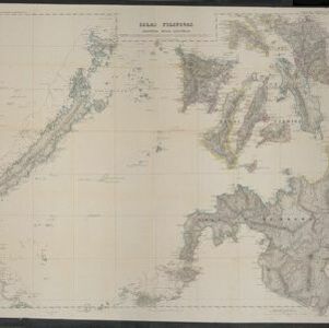
Islas Filipinas. Segunda hoja central

event1852

location_onPhilippines

Produced in Spain, this mid-19th century map details the islands of Visayas, Mindanao and Palawan in the Philippines archipelago. Bathymetry (sea depth) is marked around the islands and on four detailed inset maps of ports in the region.

Reduzirte Karte vom Sunda- oder Borneo-Meere

event1835

location_onIndonesia, Malaysia

A navigation map of the Java Sea and Sunda Islands, with bathymetry (sea depth), maritime routes, shoals and reefs, and elevations (side views of terrestrial landmarks). Inset maps feature the bay at Batavia and the straits between the Sunda Islands.

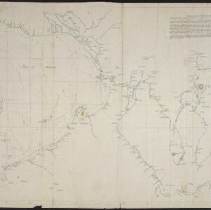
[Manuscript map of Manila Harbor and Bay Lake]

event1810

location_onPhilippines

This early 19th century hand-drawn map of Manila Bay has detailed instructions in Spanish on how to enter the bay, and the port at Cavite. Bathymetry (water depth), the mouths of rivers, and landmark mountains are shown to aid navigation.

Nieuwe afteekeningh van de Noord Küst van Java vertoonende de reede van Batavia en Bantem

event1740

location_onIndonesia

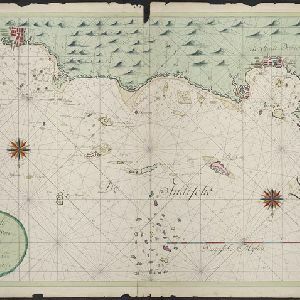
A map of the northern coast of Java and the important port cities of Batavia (Jakarta) and Bantem (Banten). The web of lines is a rhumbline network, and shoals, reefs and bathymetry (sea depth) are marked, all to aid navigation.

Charte von Ost-Indien und den angroentzenden Laendern

event1737

location_onBrunei, Cambodia, East Timor, Indonesia, Laos, Malaysia, Myanmar, Philippines, Singapore, Southeast Asia, Thailand, Vietnam

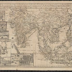
The London-based cartographer Herman Moll (1654?–1732) created this map of Asia in the early 18th century. There are five insets showing Asian trading cities, including of the ports of Batavia (Jakarta) and Bantam (Banten) in western Java.

Insulae Iavae pars Occidentalis

eventc.1710-1719

location_onIndonesia

A map of Java with mountains, jungles, animals and crops. Bathymetry (sea depth) is marked, including on an inset map of Batavia harbour. Illustrations include Batavia Castle, and a lion—representing Belgium—receiving tribute and enslaving locals.

Belgii pars septentrionalis communi nomine vulgo Hollandia nuncupata continens statum potentissimae Batavorum Reipublicae septimas seu Provincias Foederatas

event1700

location_onBrunei, Cambodia, East Timor, Indonesia, Laos, Malaysia, Myanmar, Philippines, Singapore, Southeast Asia, Thailand, Vietnam

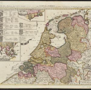
An 18th century map of the Netherlands, with an inset map of Southeast Asia highlighting the trade of the Dutch and their colonies. Within the inset is a drawing of the port of Batavia (Jakarta) with sailing ships in the harbour and mountains behind.

close

  • Filter from 1600 to 1900

Current results range from 1600 to 1900