Search

Search Results

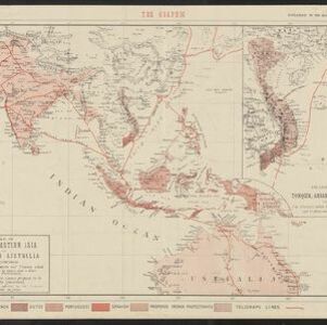
Map of South-Eastern Asia and Northern Australia: showing the districts in Annam and Tonquin which France proposes to annex and to place under a Protectorate, the portion of New Guinea proposed to be acquired by Queensland, and the districts affected by the volcanic eruptions in Java

event1883

location_onSoutheast Asia, Singapore, Thailand, East Timor, Vietnam, Brunei, Cambodia, Indonesia, Laos, Malaysia, Myanmar, Papua New Guinea, Philippines

East India Archipelago, western route to China. Chart no. 6

event1882

location_onPhilippines

Itinéraire de Hanoi à That-khe par Lang-son (Frontière Chinoise du Kouang-Si)

event1881

location_onVietnam

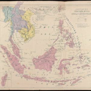
A language map of Further India and the Indian Archipelago

event1878

location_onSoutheast Asia, Brunei, East Timor, Indonesia, Malaysia, Philippines, Singapore, Thailand, Vietnam, Myanmar, Laos, Cambodia

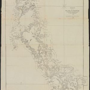
A map of a part of the Malay Peninsula belonging to Siam: copied from a map of the Siamese government in 1870

event1873

location_onMalaysia

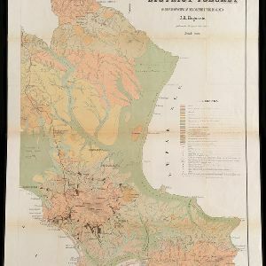
Geognostisch-Mijnbouwkundige Kaart van het Eiland Bangka, Distrikt Toboali

event1872

location_onIndonesia

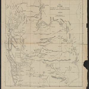
Map of Siam and some of its tributary provinces

event1870

location_onCambodia, Laos, Myanmar, Thailand

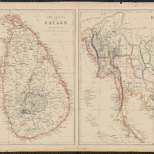
The Island of Ceylon / Burmah, Siam and Anam

event1870

location_onMyanmar, Laos, Cambodia, Thailand, Vietnam, Malaysia

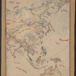
[Manuscript map of Asia and Australia]

event1870

location_onSoutheast Asia, Singapore, Brunei, Cambodia, East Timor, Indonesia, Laos, Malaysia, Myanmar, Papua New Guinea, Philippines, Thailand, Vietnam

Western part of the Java Sea : from Lucipara I. to Sunda Strait and Batavia

event1866

location_onIndonesia

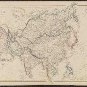
Asia

event1860

location_onPapua New Guinea, Brunei, Cambodia, Indonesia, Laos, Malaysia, Myanmar, Philippines, Singapore, Southeast Asia, Thailand, Vietnam

A sketch of the rivers of Siam from the observations of the American missionaries

eventc.1860-1869

location_onThailand

close

  • Filter from 1550 to 1900

Current results range from 1550 to 1900