Search

Search Results

Oudheidkundige Kaart van West en Midden Java

event1890

location_onIndonesia

This map of western and central Java uses red symbols to mark the locations of antiquarian sites, including tjandis (Hindu tombs), walls, terraces, fortifications, temples, wells, statues and cemeteries. Rivers, roads and railways are also shown.

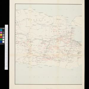
Oudheidkundige kaart van Oost-Java tot aan de vorstenlanden

event1889

location_onIndonesia

This map of eastern Java uses red symbols to mark the locations of antiquarian sites, including tjandis (Hindu tombs), walls, terraces, fortifications, temples, wells, statues and cemeteries. Rivers, roads and railways are also shown.
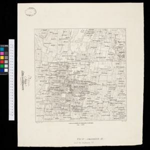
Kaart van de Hoofdplaats Djokjakarta en Omstreken

event1872

location_onIndonesia

Map of the city of Djokakarta (Yogyakarta, Java), featuring streets and buildings, as well as a military fort, public square and railway station. The surrounding area has rice (paddy) fields and villages.

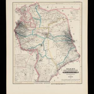
Kaart der Residentie Soerakarta

event1859

location_onIndonesia

Map of the Dutch colonial administrative region (residency) of Soerakarta (Surakarta, Java). Inset map of Surakarta city, with a military fort and two palaces. (From ‘Algemeene Atlas van Nederlandsche Indie [General Atlas of the Dutch East Indies]’.)

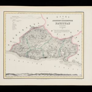
Kaart van de Assistent-Residentie Patjitan

event1859

location_onIndonesia

Map of part of the Dutch colonial administrative region of Patjitan (Pacitan, Java). Temple ruins, and a fort in the town of Patjitan, are marked. (From ‘Algemeene Atlas van Nederlandsche Indie [General Atlas of the Dutch East Indies]’.)

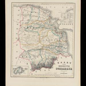
Kaart van de Residentie Soerabaya

event1858

location_onIndonesia

Map of the Dutch colonial administrative region (residency) of Soerabaya (Surabaya, Java), including the Madura Strait and an inset map of the island of Bawean. (From ‘Algemeene Atlas van Nederlandsche Indie [General Atlas of the Dutch East Indies]’.

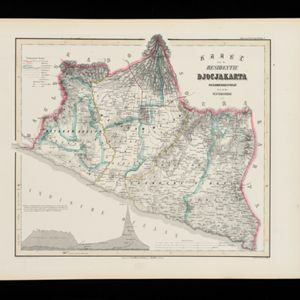
Kaart van de Residentie Djocjakarta

event1857

location_onIndonesia

Map of the Dutch colonial administrative region (residency) of Djocjakarta (Yogyakarta, Java), with its capital city of the same name at the centre. (From ‘Algemeene Atlas van Nederlandsche Indie [General Atlas of the Dutch East Indies]’.)

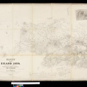
Kaart van het eiland Java

event1855

location_onIndonesia

Detailed map of Java based on the expeditions of the geologist and botanist Dr. Franz Junghuhn. There are 16 inset maps featuring volcanoes, mountains and coal seams.

Algemeene Kaart van Nederlandsch Oostindie

event1842

location_onEast Timor, Indonesia, Malaysia, Singapore

This detailed map of the Dutch East Indies in the mid-19th century is spread over eight sheets, plus a cover sheet showing the whole area. There are numerous inset maps of islands, bays, cities etc.

A map of the East-Indies and the adjacent countries: with the settlements, factories and territories, explaning what belongs to England, Spain, France, Holland, Denmark, Portugal &c.

event1720

location_onBrunei, Cambodia, East Timor, Indonesia, Laos, Malaysia, Myanmar, Philippines, Vietnam, Thailand, Southeast Asia, Singapore

This map showcases the colonial territories of Southeast Asia in the 18th century, with text detailing trading information and the products of each region. There are five inset maps featuring plans of specific trading ports.

close

  • Filter from 1720 to 1890

Current results range from 1720 to 1890