
About
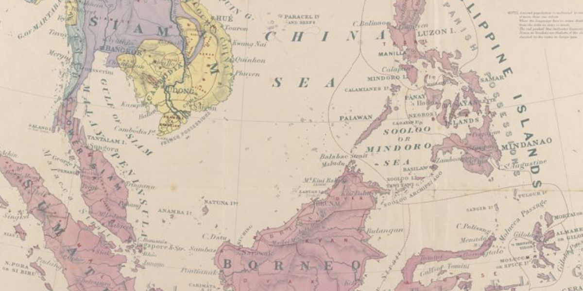
The Digital Historical Maps of Singapore and Southeast Asia project is funded by Singapore's Ministry of Education Social Science Research (SSR) Thematic Grant. Participating scholars and libraries have collaborated to curate a unique on-line collection that showcases pre-1900 maps of Southeast Asia. The platform seeks to enhance public and scholarly access to and understanding of historic maps of Southeast Asia.
Guiding Principles
Interoperability
Coordinating across collections and facilitating dialogue between collections
Curating
Offering a curatorial perspective grounded in Southeast Asia
Unlocking
Improving the discoverability by enhanced metadata linked to detailed map content
Augmenting
Enhancing the meaning of maps by linking them to other historical source materials
Geographical Coverage
This map offers a one view sense of the geographical coverage of the maps of Southeast Asia accessible through the platform. The boxes show the territorial extent of regional maps change over time.
Technology Stack
Presented by


In collaboration with