Search

Search Results

Westkust Borneo: Mond der Padang-Tikar rivier

event1884

location_onIndonesia

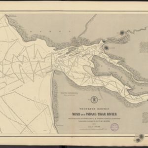
Navigation map of the mouth of the Padang Tikar River, on the west coast of Borneo, featuring bathymetric (water depth) routes. Obstructions are marked with letters: ‘m’ (mud), ‘z’ (sand). Trees, hills and fishermen’s houses are shown as landmarks.
Wereldkaart volgens Mercator's projectie

event1883

location_onBrunei, Cambodia, East Timor, Indonesia, Laos, Malaysia, Myanmar, Papua New Guinea, Philippines, Singapore, Southeast Asia, Thailand, Vietnam

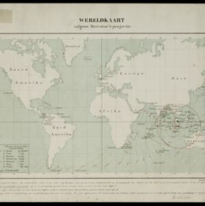
A map charting the effects of the 1883 Krakatoa volcanic eruption: a red circle where the eruption was heard; black lines showing the hourly spread of the resulting waves; and a list of ships on which ash fell, or that encountered pumice (with date).

Kaart van Krakatau en omliggende eilanden

event1883

location_onIndonesia

A map of the effects of the 1883 Krakatoa volcanic eruption. The orange line is the islands’ outline pre-eruption; the red line is the boundary of the collapsed area. Red numbers are sea depth. Pre- and post-eruption sizes of the islands are listed.

Kaart van de Djelej- en Kotawaringin-rivieren

event1881

location_onIndonesia

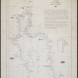
Map of an expedition exploring two rivers and their tributaries in southern Borneo. Villages and farms are marked (in red for Malay people; in black for Dayak people). Red numbers show height above sea-level in meters; black numbers show latitude.

Algemeene kaart van Nederlandsch Indië

event1879

location_onCambodia, Indonesia, Papua New Guinea, East Timor, Southeast Asia, Thailand, Malaysia, Philippines, Laos, Vietnam, Singapore, Brunei, Myanmar

A late 19th century map of the Dutch East Indies on four sheets, detailing maritime routes around the region. There are also inset maps showing railways, rivers, roads, and telegraph systems, as well as individual islands and cities.

Kaart van de Golf van Tomini of Gorontalo en omliggende landen

event1878

location_onIndonesia

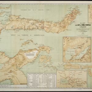
Map of the Minahasa and East peninsulas of Celebes (Sulawesi) focusing on the road system (shown by red lines). There are four inset maps, including one showing indigenous tribal areas, and a list of places with their latitude, longitude and height.

Schetskaart van de Reede van Analaboe en aangrenzende landstreek

event1877

location_onIndonesia

Hand-drawn map of the roadstead—a body of water sheltered from tides/currents, for ships to anchor—at Analaboe (Meulaboh) on the west coast of northern Sumatra. Bathymetry (sea depth), shoals and reefs, and an anchor point are marked.

Topographische kaart der residentie Cheribon

event1877

location_onIndonesia

Six-sheet topographic map of the residency of Cheribon (Cirebon, West Java), with an inset of a geodesic triangle grid. Administrative districts, crops—rice, alang-alang, sugarcane, sugar, coffee, tea—and indigo plant mills are shown.

Figuratieve kaart van Deli, Langkat en Serdang met aanteekening der uitgegeven kontrakten

event1876

location_onIndonesia

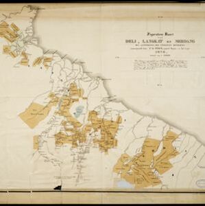
Map of three regions on the northeast coast of Sumatra, with each region divided into parcels of land which are labelled with the name of a company. Presumably, these companies have been issued the contracts mentioned in the map’s title.

Situatie kaart van een gedeelte der stad Batavia

event1874

location_onIndonesia

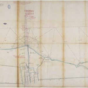
Map of the coastline of the bay of Batavia (Jakarta) showing the extension of the port’s pier (in red, labelled CD), the sand and mud bank and bathymetry (sea depth) in the bay, and notes regarding changes in tide levels over the years.

Kaart van de residentie Pekalongan

event1872

location_onIndonesia

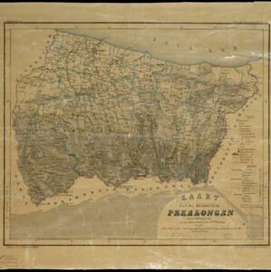
Map of the residency of Pekalongan, Central Java, divided into two regencies (Pekalongan and Batang) and 12 districts. The southern half is dominated by mountains, with more towns in the northern half near the sea. Sugar factories are marked.

close

  • Filter from 1595 to 1899

Current results range from 1595 to 1899