Search

Search Results

A chart of the Indian and Pacific Oceans with particular plans of the harbours

event1847

location_onBrunei, Cambodia, East Timor, Indonesia, Laos, Malaysia, Myanmar, Papua New Guinea, Philippines, Southeast Asia, Singapore, Thailand, Vietnam

Southeast Asia is shown on sheets two and three of this 12-sheet map of the Indian and Pacific oceans, including detailed inset maps of the straits of Singapore, Bangka, Gaspar and Sunda, with bathymetry (sea depth), shoals, reefs, anchorages etc.

A new chart of the Straits of Malacca

event1830

location_onMalaysia, Indonesia, Singapore

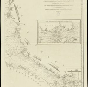
Map of the Strait of Malacca, with inset maps of a central part of the strait and of the Singapore Strait. Bathymetry (sea depth), shoals and reefs are marked, and there are elevations (side views of hills and mountains to use as landmarks).

Strait of Malacca: Sheet II

event1823

location_onMalaysia, Singapore, Indonesia

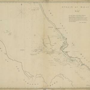
This map of the Straits of Malacca features shoals and reefs, bathymetry (sea depth), drawings of side views of landmark mountains (elevations) and written observations, all designed to aid navigation. Pencil marks indicate the map was actually used.

Strait of Malacca: Sheet II

event1823

location_onMalaysia, Singapore, Indonesia

This map of the Straits of Malacca features shoals and reefs, bathymetry (sea depth), drawings of side views of landmark mountains (elevations) and written observations, all designed to aid navigation.

Strait of Malacca: Sheet 1st

event1812

location_onMalaysia, Indonesia

This map of the Straits of Malacca features shoals and reefs, bathymetry (sea depth), drawings of side views of landmark mountains (elevations) and written observations, all designed to aid navigation.

close