Search Results
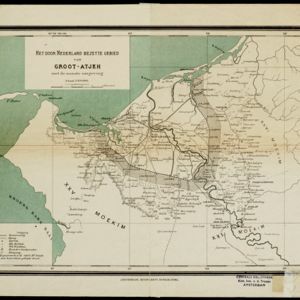
Het door Nederland bezette gebied van Groot-Atjeh met de naaste omgeving
1899
Indonesia
Map focusing on Kota Radja (city of Banda Aceh, Sumatra) during the Aceh War (1873–1904) fought between the Sultanate of Aceh and Dutch colonists. Dutch forts are shown in a zone around the city, and villages are marked in the surrounding country.
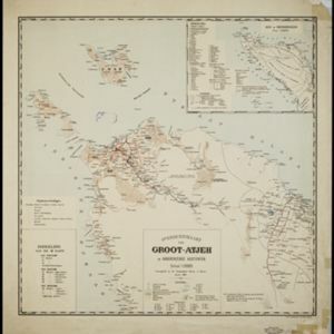
Overzichtskaart van Groot-Atjeh en aangrenzende kuststaten
1898
Indonesia
Map of Groot-Atjeh (Aceh, Sumatra), focusing on the area around the capital Kota Radja (Banda Aceh) and along the coasts. There is a list of telephone connections in the area, and an inset map of the region divided into administrative districts.

Atlas van Nederlandsch Oost-Indië
c.1897-1904
Indonesia
Very detailed atlas of the entire Dutch East Indies, over 16 map sheets, with a cover and overview map. Includes topographic maps, inset maps of cities and islands, and maps featuring land and sea routes, languages, geology, colonial territory etc.
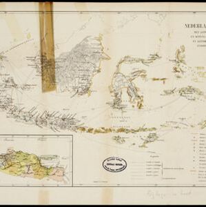
Handelskaartje van den Nederlandsch Indischen archipel
1883
Indonesia, East Timor
This map is concerned with trade in the Dutch East Indies, highlighting useful resources such as maritime routes, railways, telegraph lines and offices, coast and harbour lights, offices of officials, areas that apply tolls and duties etc.
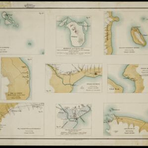
[Verzamelkaart van door uitbarsting en vloedgolf verwoeste gebieden]
1883
Indonesia
Nine maps of the effects of the 1883 Krakatoa volcanic eruption, including on Rakata Island itself, and Calmeyer Island (formed by the eruption). Other maps use brown shading to show the flooding of nearby islands and settlements by ensuing tsunamis.

Tocht van de expeditie kolonne over Seglie naar Telok Kadjoe van 6-24 Mei 1878
1879
Indonesia
Map of a Dutch military expedition from Seglie (Sigli) on the northeast coast of Sumatra to Telok Kadjoe, during the Aceh War between Aceh and Dutch colonists. They land at Sigli and cross marshland, high grass, and rice and sugarcane fields.

Western part of the Java Sea : from Lucipara I. to Sunda Strait and Batavia
1866
Indonesia
Designed to aid navigation around the western Java Sea, this map features bathymetry (sea depth), current and tide data, and is marked with shoals, reefs and other hazards. Written notes add details at specific locations (e.g. ‘heavy tide rips’).
- Filter from 1700 to 1898
- [remove]Dutch East Indies21
- [remove]Sumatra21
- Java12
- Borneo10
- Celebes10
- Sulawesi10
- Western New Guinea8
- Maluku Islands7
- South China Sea7
- Batavia6
- Malay Peninsula6
- Chineesche Zee5
- more Detailed Location »

