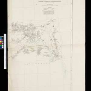
New Sketch Map of the Protected Malay State of Perak
event1892
location_onMalaysia
New sketch map of the protected Malay State of Perak
event1892
location_onMalaysia
British Burma, Pegu division: With additions to railways up to 1891
event1891
location_onMyanmar
Map to show lines of advance on Manipur
event1891
location_onMyanmar
The external trade routes of India: with tables showing the amount and value of the principal exports and imports of the chief Indian sea ports and frontier states
event1886
location_onMyanmar, Thailand
A map of the prevailing languages and dialects of India and its borders
event1885
location_onMyanmar, Thailand, Malaysia
New chart of Sunda Straits
event1883
location_onIndonesia
East India Archipelago, western route to China. Chart no. 6
event1882
location_onPhilippines
A language map of Further India and the Indian Archipelago
event1878
location_onSoutheast Asia, Brunei, East Timor, Indonesia, Malaysia, Philippines, Singapore, Thailand, Vietnam, Myanmar, Laos, Cambodia
A language map of Further India and the Indian Archipelago
event1878
location_onBrunei, Cambodia, East Timor, Indonesia, Laos, Malaysia, Myanmar, Philippines, Singapore, Southeast Asia, Thailand, Vietnam
Asiatic archipelago
event1876
location_onVietnam, Myanmar, Papua New Guinea, Philippines, Singapore, Southeast Asia, Thailand, Malaysia, Laos, Indonesia, East Timor, Cambodia, Brunei