Search

Search Results

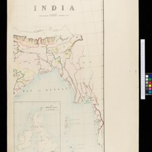
Skeleton map of India

event1899

location_onMyanmar

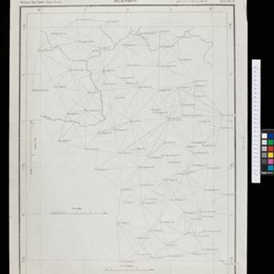
Chart of triangulation: No.21 Party, Northern Shan States (Upper Burma)

event1899

location_onMyanmar

Indo-Chine: carte de la mission Pavie

event1899

location_onCambodia, Laos, Myanmar, Thailand, Vietnam

China

event1898

location_onBrunei, Cambodia, East Timor, Indonesia, Laos, Malaysia, Myanmar, Philippines, Singapore, Southeast Asia, Thailand, Vietnam

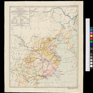
Sketch map of China and adjoining regions: showing the density of population, mineral resources, chief products, principal trade routes, existing and projected railways, and inland navigation

event1898

location_onMyanmar, Thailand, Vietnam

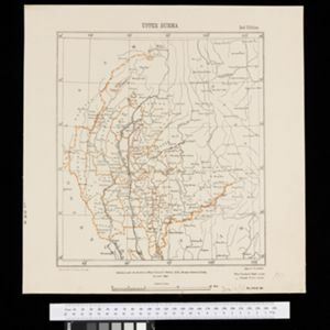
Upper Burma

event1898

location_onMyanmar, Thailand

Burma and adjacent countries: With additions and corrections to boundaries and railways up to December, 1898

event1898

location_onMyanmar, Thailand

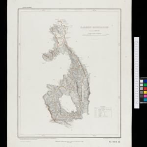
Karenni boundaries

event1898

location_onMyanmar

Burma with parts of India, China and Siam

event1888

location_onMyanmar, Laos, Thailand

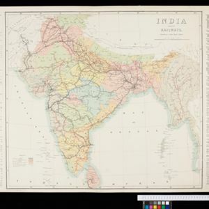
India shewing railways

event1898

location_onMyanmar

India

event1898

location_onIndonesia, Malaysia, Myanmar, Thailand

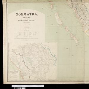
Soematra, Bangka en de Riouw-Lingga Archipel

event1897

location_onMalaysia, Indonesia, Singapore, Myanmar

close