Search Results
Stanford's Library Map of Asia
1899
Brunei, Cambodia, East Timor, Indonesia, Laos, Malaysia, Myanmar, Philippines, Singapore, Southeast Asia, Thailand, Vietnam
Southeast Asia is on sheet four of this map. British colonial territory—British Burma, the Straits Settlements, Sarawak, Brunei, British North Borneo—is highlighted in red, with Dutch, Spanish, French and Portuguese territory also shown.
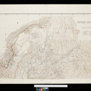
A map of British North Borneo
1899
Malaysia, Brunei, Indonesia
The colonial territories of British North Borneo are shown in pink on this late 19th century map, with Brunei and Sarawak in green, and Dutch colonial territory in yellow. Sea routes around the British Empire are depicted on an inset map.
- Myanmar77
- Thailand51
- Malaysia49
- Indonesia39
- Singapore35
- Vietnam32
- Laos25
- Philippines24
- Brunei23
- Cambodia23
- East Timor16
- Southeast Asia16
- more Simple Location »
- Siam49
- Burma42
- Malay Peninsula38
- Upper Burma33
- Lower Burma28
- Sumatra26
- Java22
- Borneo21
- British Burma20
- Celebes15
- Pegu15
- South China Sea15
- more Detailed Location »
- Kampong/Village35
- Hospital17
- Residential Area16
- Military Fort15
- Church14
- Police Station14
- Jail/Prison11
- Military Barracks11
- Cemetery/Columbarium10
- Public Space10
- Mosque7
- Temple7
- Palace6
- Court of Law5
- more Settlement Features »
- Thuillier, Colonel H.R.14
- Johnston, Keith (A.K.)6
- Johnston, William6
- Strahan, Major General Charles6
- Walker, John5
- Strahan, Colonel George4
- Berghaus, Heinrich Karl Wilhelm3
- Longe, Captain F.B.3
- more Map Maker »
- Survey of India Offices, Calcutta41
- Edward Stanford11
- Intelligence Division, War Office9
- Stanford's Geographical Establishment9
- Intelligence Branch, War Office6
- Royal Geographical Society6
- Surveyor General's Office, Calcutta4
- William Blackwood & Sons4
- more Printer/Publisher »
- London39
- Dehradun21
- Edinburgh12
- Calcutta3
- New York3
- Liverpool2
- Singapore2
- Brisbane1
- more Place of Publication »