Search Results

Map of the Kingdom of Siam and its dependencies
c.1900
Myanmar, Malaysia, Singapore, Thailand, Laos, Cambodia, Vietnam
The border of the Kingdom of Siam (Thailand) and its internal administrative districts are highlighted in yellow. Inset maps show the cities of Bangkok, Chiengmai (Chiang Mai) and Luang Pra Bang (Luang Prabang) in more detail.

Map of the Island of Singapore and its dependencies
1898
Singapore
Map of Singapore Island, divided into Districts, including the surrounding islands and straits. The city centre, roads and forests are marked. MacRitchie Reservoir is at the centre of the island, with coconut plantations along the east coast.

A map of the Malay Peninsula
1898
Malaysia, Singapore, Thailand
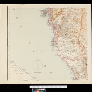
Map of the Malay Peninsula showcasing the Straits Settlements in pink, the Federated Malay States in red, and Siamese states in yellow. A table of common words in English, Malay and Siamese is included. Only four of six sheets are available.

Plan of the town and suburbs of Rangoon
c.1895-1897
Myanmar
Detailed plan of the city of Rangoon (Yangon, Myanmar) with commercial, religious, government and military buildings, surrounded by lakes, fields of crops and villages. Someone has drawn details on the map of areas that have undergone ‘levelling’.

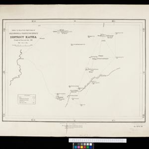
Index to relative positions of gold mining & prospecting grants: District Katha
1893
Myanmar
Map of the Katha district, Burma (Myanmar), with locations of gold mines and land allocated for prospecting. High points are marked and linked with lines to create a triangulation network. The Mu Valley State Railway and Mu River are shown.

Map of the Malay Peninsula 1879
1879
Malaysia, Singapore, Thailand
Six-sheet map of the Malay Peninsula, featuring settlements, mountains and rivers. Labels note names of indigenous peoples, or describe terrain/resources. There is an inset map of Singapore town, and the Straits Settlements are highlighted in red.
- Filter from 1646 to 1900
- [remove]Civic/Metropolitan Border19
- Colonial Possessions8
- District/Administrative Border7
- Regional Border3
- [remove]Longitude and Latitude19
- Scale17
- Compass Rose11
- Contour Lines/Elevation6
- Written Note/Details6
- Rhumbline Network2


