Search

Search Results

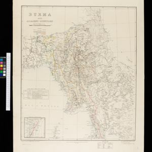
Burma and adjacent countries: With additions and corrections to boundaries and railways up to December, 1898

event1898

location_onMyanmar, Thailand

The regional and national borders of Burma and Siam are hand-coloured on this map. Provinces, districts and states within Burma are also highlighted, and itemised in a separate list.

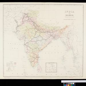
India shewing railways

event1894

location_onMyanmar

This map of India and Burma (Myanmar) shows railways, and railways sanctioned or under construction. Other maps in this series show the same area in different years of the 1890s.

Trade Routes in the Far East

event1894

location_onBrunei, Cambodia, Indonesia, Laos, Malaysia, Myanmar, Philippines, Singapore, Thailand, Vietnam

Map of stream ship trade routes around Southeast Asia. Rivers, railways, submarine telegraph cables, lighthouses (fixed, revolving and flashing), graving docks and coaling stations are marked. An inset map shows a railway route from Britain to Asia.

India shewing railways

event1893

location_onMyanmar

This map of India and Burma (Myanmar) shows railways, and railways sanctioned or under construction. Other maps in this series show the same area in different years of the 1890s.

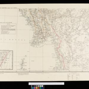
Burma and adjacent countries

event1892

location_onMyanmar, Thailand

The regional and national borders of Burma and Siam are hand-coloured on this map. Provinces, districts and states within Burma are also highlighted, and itemised in a separate list.

Burma and adjacent countries

event1892

location_onMyanmar, Thailand

The regional and national borders of Burma and Siam are hand-coloured on this map. Provinces, districts and states within Burma are also highlighted, and itemised in a separate list.
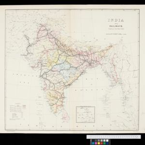
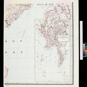
[Map of India]

event1887

location_onMyanmar

This four-sheet map of India—featuring an inset map of Burma (Myanmar) —was created for use in Indian schools by Devendranath Dhar, a self-taught Calcutta-based mapmaker. He sent it to the Royal Asiatic Society for advice on publication.

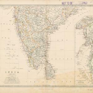
India (southern sheet)

event1824

location_onMyanmar, Malaysia, Indonesia, Singapore, Thailand

The inset map on this map of India features part of mainland Southeast Asia, with the British colonial territories—Straits Settlements, British Burma—highlighted in red, ‘protected states’ in yellow, and ‘independent states’ in green.

close

  • Filter from 1824 to 1898

Current results range from 1824 to 1898