Search

Search Results

Itinéraire de Hanoi à That-khe par Lang-son (Frontière Chinoise du Kouang-Si)

event1881

location_onVietnam

A late 19th century map depicting a route from Hanoi to That-Khe via Lang-Son (in northern Vietnam, near the border with China at Kouang-Si (Guangxi)). Two inset maps feature plans of military forts, villages, rivers and fields along the route.

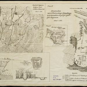
[Schetskaarten van versterkingen, loopgraven, stellingen, bentengs e.d. uit de Atjeh oorlog]

event1880

location_onIndonesia

Multiple maps from the Aceh War, spread over 12 sheets. Includes maps of fortifications, trenches, battle formations; building plans, including the Aceh Sultan’s palace; topographic maps; and drawings of a ‘kotta mara’ (fortified raft).

Plattegrond der stad Batavia

event1866

location_onIndonesia

A mid-19th century map of the important port of Batavia (Jakarta), with its pier, commercial centre and residential streets. However, the city is also surrounded by villages (kampongs), fields and plantations. An inset map shows Batavia Castle.

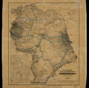
Kaart der residentie Soerakarta

event1859

location_onIndonesia

The residency of Soerakarta in Central Java is shown divided into regencies (yellow borders) and districts (blue borders). There is an inset plan of the capital city, Soerakarta (modern Surakarta), and mountains and land routes are marked.

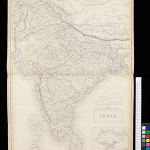
India

event1847

location_onSingapore, Malaysia

There is an inset map of the island of Singapore on this map of India. The island is coloured red to indicate it is British colonial territory. The surrounding islands and straits are marked, as well as details of the city such as the Sultan Mosque.

General-Karte von Mittleren Sumatra von Padang bis Singkel

event1847

location_onIndonesia

This map focuses on the mountain ranges along the west coast of central Sumatra. Military bases, post offices, villages, rivers and hot springs are also marked, and there are inset maps of the towns of Padang and Singkel (Singkil).

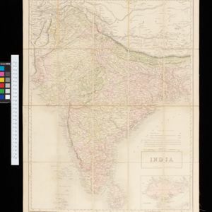
India

event1846

location_onSingapore, Malaysia

There is an inset map of the island of Singapore on this map of India. The island is coloured red to indicate it is British colonial territory. The surrounding islands and straits are marked, as well as details of the city such as the Sultan Mosque.

close