Search Results
Filter
Map Attributes
Contour Lines/Elevation
Remove constraint Map Attributes: Contour Lines/Elevation
Detailed Location
Burma
Remove constraint Detailed Location: Burma
Detailed Location
Irrawaddy River
Remove constraint Detailed Location: Irrawaddy River
Collections
Bodleian Libraries, University of Oxford
Remove constraint Collections: Bodleian Libraries, University of Oxford
4 Results found

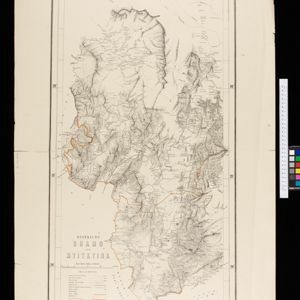
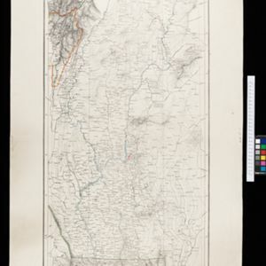
Map to illustrate the operations about Sadon, Upper Burma
1891
Myanmar
Map of northeast Burma (Myanmar) bordering China's Yunnan Province. The title refers to ‘operations’ around the town of Sadon, possibly part of the Burmese resistance movement against British colonial rule in the late 19th century.
- Ayeyarwady River4
- [remove]Burma4
- [remove]Irrawaddy River4
- Bhamo3
- Myitkyina3
- Mongmit2
- Upper Burma2
- Lower Burma1
- Mandalay1
- Myitkina1
- Sadon1
- Sadung1
- [remove]Contour Lines/Elevation4
- Longitude and Latitude4
- Scale4


