Search Results

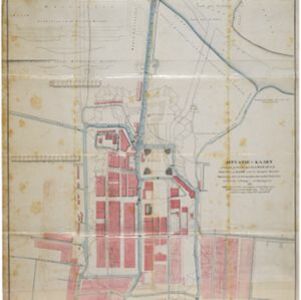
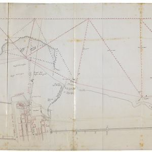
Situatie-kaart van een gedeelte der stad Batavia benevens de bank voor de Groote rivier
1817
Indonesia
Plan of the canals and rivers flowing through the city of Batavia (Jakarta), passing through the port before reaching the pier and the bay. The bay has a sand bank and figures for water depth. There are profile drawings of two of the city’s rivers.

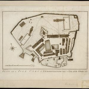
Plan de l'Isle Onrust = Grondtékening van 't Eiland Onrust
1760
Indonesia
Map of the Dutch town and naval base on the island of Onrust in Batavia (Jakarta) Bay, featuring the dock at the south, and various other buildings. There are defences around the north and east coasts, and internal walls around the main buildings.
- Filter from 1760 to 1900
- [remove]Military Barracks52
- [remove]Military Fort52
- Kampong/Village25
- Residential Area21
- Cemetery/Columbarium20
- Church18
- Hospital18
- Public Space13
- Jail/Prison9
- Mosque8
- Temple8
- Police Station7
- Post Office7
- Palace5
- more Settlement Features »


