Search

Search Results

New sketch map of the protected Malay State of Perak

event1892

location_onMalaysia

Map of state of Perak (Malay Peninsula) with a table of statistics: area, population, road/railway/river lengths, revenue, tin exports. Straits Settlements highlighted red. Someone has added handwritten travel times/distances by steamer/road/train.

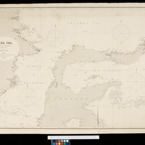
China Sea: Strait of Macassar to Celebes Sea

event1864

location_onIndonesia

Navigation map of the Celebes Sea, Makassar Strait and Java Sea, with bathymetry (sea depth), maritime routes, shoals and reefs, and landmark coastal mountains to aid navigation. On two sheets, which may not be from the same original map.

Arracan: chart of the entrance to the river

event1858

location_onMyanmar

This navigation map of the mouth of the Kaladan River on the west coast of Arracan (modern Myanmar) features drawings of coastal features (elevations), bathymetry (sea depth), shoals and reefs, landmarks, and notes on how to enter the river safely.

Map of Prince of Wales' Island or Pulo Penang and province Wellesley

event1853

location_onMalaysia

Map of the Penang Strait, including written instructions on how to navigate the strait. On land, areas of cultivation are marked, with a table listing acreage used for each crop. A boundary with Siam based on an 1831 treaty is also shown.

Algemeene Kaart van Nederlandsch Oostindie

event1842

location_onEast Timor, Indonesia, Malaysia, Singapore

This detailed map of the Dutch East Indies in the mid-19th century is spread over eight sheets, plus a cover sheet showing the whole area. There are numerous inset maps of islands, bays, cities etc.

Reduzirte Karte vom Sunda- oder Borneo-Meere

event1835

location_onMalaysia, Indonesia

A navigation map of the Java Sea and Sunda Islands, with bathymetry (sea depth), maritime routes, shoals and reefs, and elevations (side views of terrestrial landmarks). Inset maps feature the bay at Batavia and the straits between the Sunda Islands.

Reduzirte Karte von den Philippinen und den Sulu Inseln

event1832

location_onMalaysia, Indonesia, Philippines

Maritime map of the Philippines, with inset maps of bays showing bathymetry (sea depth), shoals, reefs and anchor points. There is also an inset map of Taal Volcano, and elevations (side views of terrestrial landmarks like mountains and islands).

A new chart of the eastern straits to China drawn from the best authorities

event1800

location_onIndonesia

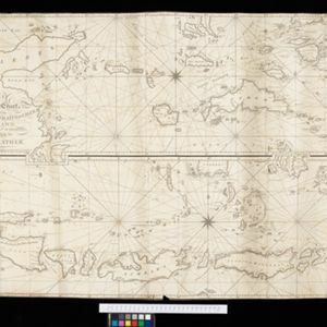
Two maps of routes around the Flores and Banda seas—through the straits between the Lesser Sunda Islands and the Maluku Islands—towards China. Includes a rhumbline network—a web of lines to help plot routes—bathymetry (sea depth), shoals and reefs.

A chart of a part of the coast of Cochinchina: from Cham-Collao Island to the King's River

event1794

location_onVietnam

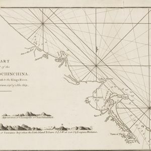
A map to aid navigation around the Touranne Bay (Bay of Turon, location of modern city of Da Nang, Vietnam). The web of lines is a rhumbline network, and bathymetry (sea depth), anchor points and two elevation views of the coasts are shown.

De reede en stadt Batavia, is geleegen aan de noord kust van 't eyland Groot Iava inde Oost Indische Zee

event1728

location_onIndonesia

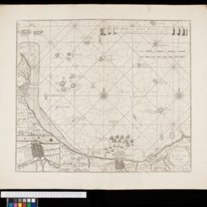
A map of the bay of the port city of Batavia (Jakarta). To aid navigation, a rhumbline network (the web of interconnected lines), bathymetry (sea depth), and small islands, shoals and reefs are marked. An inset map shows the city in more detail.

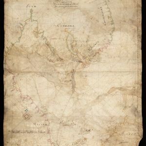
[Portolan chart of the Gulf of Siam]

event1697

location_onThailand, Vietnam, Malaysia, Cambodia

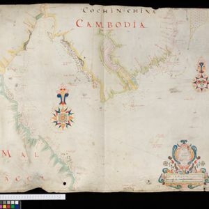
A brightly-coloured hand-drawn map of the Gulf of Siam, made for a ship’s captain. The elaborate compass roses are the centre of a rhumbline network, a web of lines to aid navigation. Bathymetry (sea depth), islands, shoals and reefs are also marked.

[Portolan chart of the South China Sea]

event1679

location_onMalaysia, Brunei, Cambodia, Thailand, Vietnam

A brightly-coloured hand-drawn map of the South China Sea. The compass is at the centre of a rhumbline network, a web of lines to aid navigation. Bathymetry (sea depth), islands, anchor points, shoals and reefs are also marked.

close

  • Filter from 1679 to 1892

Current results range from 1679 to 1892