Search

Search Results

Moekim Lepong

event1883

location_onIndonesia

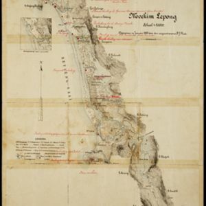
Map of Lepong (Leupung) in Aceh, northern Sumatra, surrounded by paddy fields and mountains. There are handwritten corrections and additions in red ink, and an inset map of the mouth of the Kroeng Lepong river showing it four years earlier in 1879.

Carte de l'ile de Java

eventc.1850

location_onIndonesia

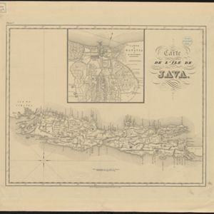
Map of Java and Madura divided into administrative districts, and featuring mountains, settlements and major roads. There is an inset map of the port city of Batavia (Jakarta) and its surrounding fields and countryside.

Carte de l'ile de Java

eventc.1850

location_onIndonesia

Map of Java and Madura divided into administrative districts, and featuring mountains, settlements and major roads. There is an inset map of the port city of Batavia (Jakarta) and its surrounding fields and countryside.

Nieuwe kaart van het eiland Java

event1816

location_onIndonesia

Map of Java marked with administrative regions, settlements, roads, mountains and rivers. There is an inset map of the port city of Batavia, with its system of rivers and canals, and its surrounding country with villages, fields and plantations.

Carte du cours de la Riviere de Meinam: depuis Judia jusqu'à son embouchure

event1730

location_onThailand

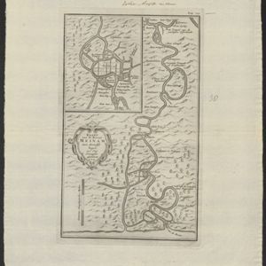
Map of the Meinam (Chao Phraya) river from the city of Judia (Ayutthaya) to its mouth near Bangkok. Features temples, villages, a Bishop's Palace, a fort at Bangkok, and a ‘Champ des Eléphans [Elephant Field]’. The text is in French and Dutch.

Kaart van de Rivier Meinam aan desselfs begin

event1729

location_onThailand

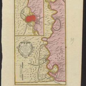
Map of the Meinam (Chao Phraya) river from the city of Juthia (Ayutthaya) to its mouth near Bangkok. Features temples, villages, a Bishop's Palace, a fort at Bangkok, and an ‘Olifanten Veldt [Elephant Field]’.

Kaart van de Rivier Meinam aan desselfs begin

event1729

location_onThailand

Map of the Meinam (Chao Phraya) river from the city of Juthia (Ayutthaya) to its mouth near Bangkok. Features temples, villages, a Bishop's Palace, a fort at Bangkok, and an ‘Olifanten Veldt [Elephant Field]’.

close