Search Results

Map of the Island of Singapore and its dependencies
1898
Singapore
Map of Singapore Island, divided into Districts, including the surrounding islands and straits. The city centre, roads and forests are marked. MacRitchie Reservoir is at the centre of the island, with coconut plantations along the east coast.
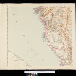
A map of the Malay Peninsula
1898
Malaysia, Singapore, Thailand
Map of the Malay Peninsula showcasing the Straits Settlements in pink, the Federated Malay States in red, and Siamese states in yellow. A table of common words in English, Malay and Siamese is included. Only four of six sheets are available.
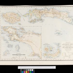
Kaart van 't noordwestelijke gedeelte der Residentie Ambon
1898
Indonesia
Map of the residency of Ambon in the Maluku Islands, divided by colour-coded administrative borders. There are inset maps the Banda Islands—including the nutmeg plantations and the town of Neira with its fort and hospital—and of Dutch New Guinea.
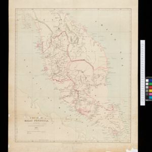
A Map of the Malay Peninsula
1897
Indonesia, Malaysia, Singapore, Thailand
On this late 19th century map of the Malay Peninsula, the British colonial territories—the Straits Settlements of Singapore, Malacca, Dinding and Penang—are in red, demarcating them from the British protectorate states of the rest of the peninsula.
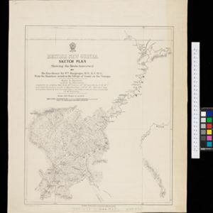
British New Guinea: Sketch plan showing the route traversed by His Excellency Sir Wm. Macgregor... from the Mambre mouth to the village of Gosisi on the Vanapa
1897
Papua New Guinea
Map of the Mambare River from Mount Victoria to the sea at Duvira (or Traitors) Bay, British New Guinea. Villages, bases, camps and stores are marked, and there are notes on terrain (‘Low Hills’), vegetation (‘Betal Palms’), river width, rapids etc.
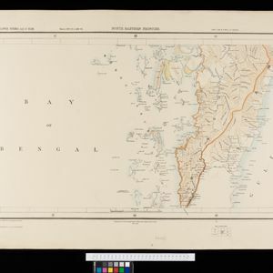
South eastern frontier
c.1890-1906
Myanmar, Thailand
Very detailed large-scale map of the southeast border of Burma (Myanmar) and Siam (Thailand), divided into districts. Spread over multiple sheets, seems incomplete (some sheets appear more than once, probably from different versions of the same map).
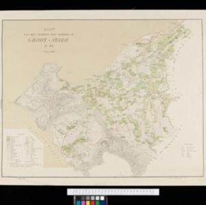
Kaart van het terrein des Oorlogs in Groot-Atjeh in 1876
1883
Indonesia
The Aceh War (1873–1904) between the Sultanate of Aceh and Dutch colonists is highlighted on this map of Groot-Atjeh in 1876. Flag symbols mark the locations of Dutch troops, while a red line records the route marched by ‘agitating troops’ in 1875-6.

Military cantonments: town and suburbs of Akyab, 1853-54
1866
Myanmar
Plan of British military installations in the port town of Akyab, Burma (Sittwe, Myanmar), featuring piers on the Kolladyne River (Kaladan River), hospitals, a work house, mission house, hotel, bazaar, burial grounds, religious buildings etc.

Algemeene Atlas van Nederlandsche Indie
c.1853-1862
Indonesia
Atlas featuring over 60 detailed maps of the Dutch East Indies: 24 maps cover Java; the remainder cover the rest of the Dutch East Indies. There are three index maps. (All the maps in this atlas are also presented separately on this platform.)
- [remove]Colonial Possessions14
- District/Administrative Border11
- Civic/Metropolitan Border6
- National Border3

