Search Results

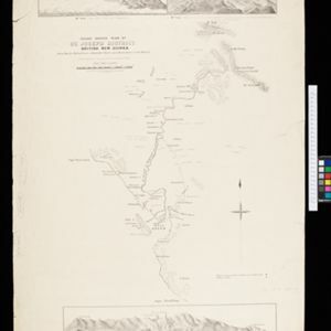
Rough sketch plan of St. Joseph District, British New Guinea
1890
Papua New Guinea
Map of part of British New Guinea with notes on terrain (‘Swamp’), vegetation (‘Grass & wood patches with old gardens’) and people (‘Oru tribe’), and three elevation views of mountain ranges. Some villages are marked as having ‘resident teachers’.

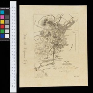
Map of the Malay Peninsula 1879
1879
Malaysia, Singapore, Thailand
Six-sheet map of the Malay Peninsula, featuring settlements, mountains and rivers. Labels note names of indigenous peoples, or describe terrain/resources. There is an inset map of Singapore town, and the Straits Settlements are highlighted in red.

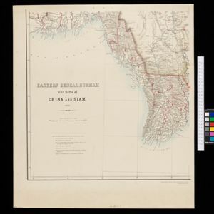
Eastern Bengal, Burmah and parts of China and Siam
1871
Myanmar, Laos, Thailand, Vietnam
The routes of nine expeditions (1830 to 1869) are marked on this map. There are also short notes about trading (e.g. at Oonoung in Burmah: ‘A bazaar, with a great variety of European goods’), and a list of other maps referenced in producing the map.
- Filter from 1871 to 1900
- [remove]Market7
- Shopping Area3
- Factory2
- Office2
- Warehouse1
- [remove]Contour Lines/Elevation7
- Scale7
- Longitude and Latitude4
- Written Note/Details2
- Compass Rose1
- Intelligence Division, War Office1
- Julius Bien & Co.1
- Royal Asiatic Society, Straits Settlements’ Branch1
- School of Military Engineering, Chatham1
- Stanford's Geographical Establishment1
- Survey of India Offices, Calcutta1
- Surveyor General's Office, Brisbane1
- Surveyor General's Office, Calcutta1
- more Printer/Publisher »


