Search Results
Filter
Cultivation/Extraction
Crops
Remove constraint Cultivation/Extraction: Crops
Land Features
Jungle/Wooded Area
Remove constraint Land Features: Jungle/Wooded Area
Language
English
Remove constraint Language: English
Settlement Features
Residential Area
Remove constraint Settlement Features: Residential Area
4 Results found

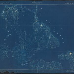
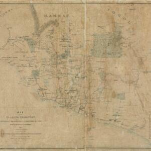
Map of the Island of Singapore and its dependencies
1898
Singapore
Map of Singapore Island, divided into Districts, including the surrounding islands and straits. The city centre, roads and forests are marked. MacRitchie Reservoir is at the centre of the island, with coconut plantations along the east coast.

Plan of the town and suburbs of Rangoon
c.1895-1897
Myanmar
Detailed plan of the city of Rangoon (Yangon, Myanmar) with commercial, religious, government and military buildings, surrounded by lakes, fields of crops and villages. Someone has drawn details on the map of areas that have undergone ‘levelling’.


