Search Results
Filter
Cultivation/Extraction
Crops
Remove constraint Cultivation/Extraction: Crops
Language
English
Remove constraint Language: English
Settlement Features
Residential Area
Remove constraint Settlement Features: Residential Area
Political Regions
District/Administrative Border
Remove constraint Political Regions: District/Administrative Border
2 Results found

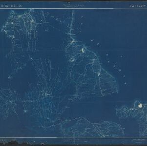
Map of the Island of Singapore and its dependencies
1898
Singapore
Map of Singapore Island, divided into Districts, including the surrounding islands and straits. The city centre, roads and forests are marked. MacRitchie Reservoir is at the centre of the island, with coconut plantations along the east coast.
- Filter from 1898 to 1900
- [remove]District/Administrative Border2
- Civic/Metropolitan Border1
- Colonial Possessions1


