Search

Search Results

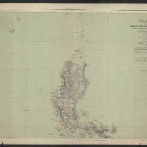
Carta general (en dos hojas) del Archipiélago Filipino

event1900

location_onPhilippines

A Spanish military map of the northern Philippine island of Luzon, highlighting cable and telegraph lines, and aids to maritime navigation such as bathymetry (sea depth) and tide data. A conversion table for metres, fathoms and feet is also shown.

Noordkust Java: Westervaarwater van Soerabaja

event1898

location_onIndonesia

This map of the Madura Strait between Java and Madura is designed to aid navigation: bathymetry (water depth), lighthouses, shoals and reefs, rocks and mud, anchor points, and landmark mountains are all marked. Text describes the tidal conditions.

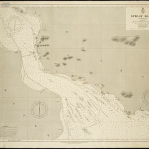
Straat Banka: Zuidblad

event1897

location_onIndonesia

Navigation map of the southern part of the Bangka Strait between Sumatra and Bangka Island. Bathymetry (sea depth), lighthouses, reefs, shoals and other obstructions (clay, coral, mud, stones, sand) are marked.

Atlas van Nederlandsch Oost-Indië

eventc.1897-1904

location_onIndonesia

Very detailed atlas of the entire Dutch East Indies, over 16 map sheets, with a cover and overview map. Includes topographic maps, inset maps of cities and islands, and maps featuring land and sea routes, languages, geology, colonial territory etc.

Kaart van den Nederlandsch-Indischen Archipel

event1890

location_onIndonesia, East Timor, Brunei, Cambodia, Malaysia, Philippines, Singapore, Southeast Asia, Thailand, Vietnam

The seas of the Dutch East Indies are the focus of this map, with maritime routes, sea temperature, sea depth, currents and monsoons shown. There are graphs of population by ethnicity, agriculture and livestock, trade and shipping, and trade exports.

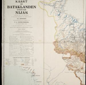
Kaart der Bataklanden en van het eiland Nijas

event1890

location_onIndonesia

A large-scale map of northern Sumatra, spread over 16 sheets, and divided into administrative regions. The island of Nijas (Nias) is marked with the locations of local tribes, and there is a list of other maps referenced in producing the map.

Kaart der Karimon-Djawa eilanden

event1887

location_onIndonesia

Map of the Karimunjawa Islands (Java Sea) marked with the locations of shoals, reefs, anchor points and sea depth (bathymetry) to aid navigation; and with geological sites (recent rock/coral formation, basalt rock, schist rock and quartz).

Kaart van Krakatau en omliggende eilanden

event1883

location_onIndonesia

A map of the effects of the 1883 Krakatoa volcanic eruption. The orange line is the islands’ outline pre-eruption; the red line is the boundary of the collapsed area. Red numbers are sea depth. Pre- and post-eruption sizes of the islands are listed.

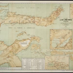
Kaart van de Golf van Tomini of Gorontalo en omliggende landen

event1878

location_onIndonesia

Map of the Minahasa and East peninsulas of Celebes (Sulawesi) focusing on the road system (shown by red lines). There are four inset maps, including one showing indigenous tribal areas, and a list of places with their latitude, longitude and height.

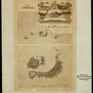
Land- en zeekaart der Banda-eilanden

event1871

location_onIndonesia

Two maps of the Banda Islands—one of the whole group; the other focusing on the larger islands only—with an elaborate cartouche illustrated with six views of the islands. There is also a drawing of the volcano on Goenong Api (Banda Api).

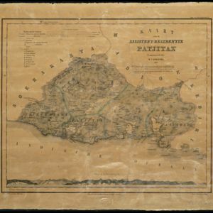
Kaart van assistent-residentie Patjitan

event1859

location_onIndonesia

Map of the residency of Patjitan (Pacitan), south coast of East Java, divided into administrative districts. At the base, there is an elevation (side view) drawing of terrain around the Bay of Patjitan. Villages, forts and ruined temples are marked.

close