Search

Search Results

Ost-Indien mit den Inseln

event1831

location_onBrunei, Cambodia, East Timor, Indonesia, Laos, Malaysia, Myanmar, Philippines, Singapore, Southeast Asia, Thailand, Vietnam

On this map of India and Southeast Asia, borders are outlined and cities underlined in different colours to show the colonial territories of the European powers: British, Dutch, Spanish, Portuguese, French and Danish.

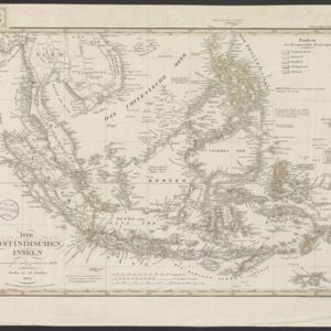
Die Ostindischen Inseln

event1830

location_onBrunei, Cambodia, East Timor, Indonesia, Laos, Malaysia, Myanmar, Philippines, Singapore, Southeast Asia, Thailand, Vietnam

Map of Southeast Asia highlighting European colonial possessions. Unusually, the south coast of the Philippine island of Mindanao is shown twice, reflecting uncertainty about its true location. Names of indigenous peoples are listed on Borneo.

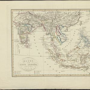
Kaart van Oost Indiën: behoorende bij Olivier Land- en zeetogten

event1830

location_onBrunei, Cambodia, East Timor, Indonesia, Laos, Malaysia, Myanmar, Philippines, Singapore, Southeast Asia, Thailand, Vietnam

Map from Johannes Olivier’s book ‘Land- en Zeetogten in Nederland's Indie [Land and Sea Journeys in the Dutch Indies]’, showing European colonial possessions and indigenous kingdoms in Asia.

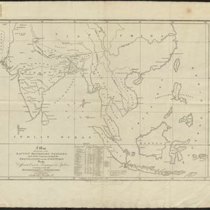
A Map Illustrative of the Baptist Missionary Stations

event1815

location_onBrunei, Cambodia, East Timor, Indonesia, Laos, Malaysia, Myanmar, Philippines, Singapore, Southeast Asia, Thailand, Vietnam

This map marks the locations of Baptist missionary stations in Asia, including at Ava, Rangoon, Java and Amboyna (Ambon) in Southeast Asia. The station at Java also has a school. The map’s legend lists the stations’ dates of foundation.

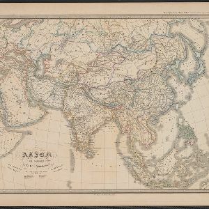
Asien am Ausgange des XVIIten Jahrhunderts

eventc.1800-1899

location_onBrunei, Cambodia, East Timor, Indonesia, Laos, Malaysia, Myanmar, Philippines, Singapore, Southeast Asia, Thailand, Vietnam

This map of Asia, from an atlas by the German cartographer Karl von Spruner, is colour-coded to show the colonial possessions of the European powers—Netherlands, Portugal, Spain, France, Britain and Denmark—at the end of the 17th century.

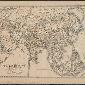
Asien gegen Ende des XVIIIten Jahrhunderts

eventc.1800-1899

location_onBrunei, Cambodia, East Timor, Indonesia, Laos, Malaysia, Myanmar, Philippines, Singapore, Southeast Asia, Thailand, Vietnam

This map of Asia, from an atlas by the German cartographer Karl von Spruner, is colour-coded to show the possessions of the Indian Maratha Empire, and of the European colonial powers at the end of the 18th century.

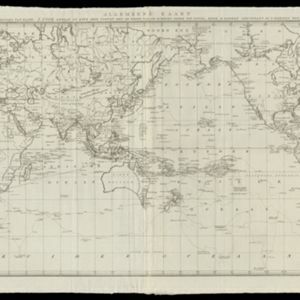
Algemeene kaart van de ontdekkingen van kapit. J. Cook gedaan op zyne drie togten met de koers van de schepen onder zyn bevel

event1795

location_onBrunei, Cambodia, East Timor, Indonesia, Laos, Malaysia, Myanmar, Papua New Guinea, Philippines, Singapore, Southeast Asia, Thailand, Vietnam

Map charting the three expeditions of the British Royal Navy captain James Cook, including HMS Endeavour’s journey via Batavia (Jakarta) in 1770, and HMS Resolution’s journey through the South China Sea (after Cook’s death) in 1779.

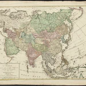
Asien nach den neusten und besten Hülfsmitteln entworffen und herausgegeben im Jahre 1793

event1793

location_onBrunei, Cambodia, East Timor, Indonesia, Laos, Malaysia, Myanmar, Papua New Guinea, Philippines, Singapore, Southeast Asia, Thailand, Vietnam

On this map of Asia, borders are outlined and cities underlined in different colours to show the colonial territories of the European powers: e.g. at this time, Benkulen (Bencoolen) on the west coast of Sumatra is British, and Malacca is Dutch.

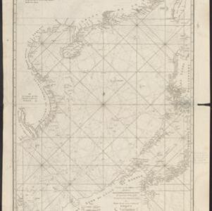
Chart of the China Sea

event1746

location_onBrunei, Cambodia, Indonesia, Malaysia, Philippines, Vietnam

This map features eight expedition routes across the South China Sea from 1752 to 1763. The web of lines is a rhumbline network, and bathymetry (sea depth) is marked. The place names are in French, but with an English title and notes.

close